Here are some images and video clips of a recent hike we did in Yilan County’s Jiaoxi area.
To get there we took a Capital Star bus from Taipei City Hall Bus Station to Jiaoxi. Takes about an hour, unless there is a traffic jam inside Xueshan Tunnel on Freeway 5.
Here’s the bus info in Chinese: http://www.capital-bus.com.tw/3.php
The bus stops at the Jiaoxi Bus Station where you can take the Taiwan Tourist Shuttle bus (Jiaoxi Route A; bus No. 111).
See the route and schedule for the bus here: http://en.taiwantrip.com.tw/line/1?x=1&y=1
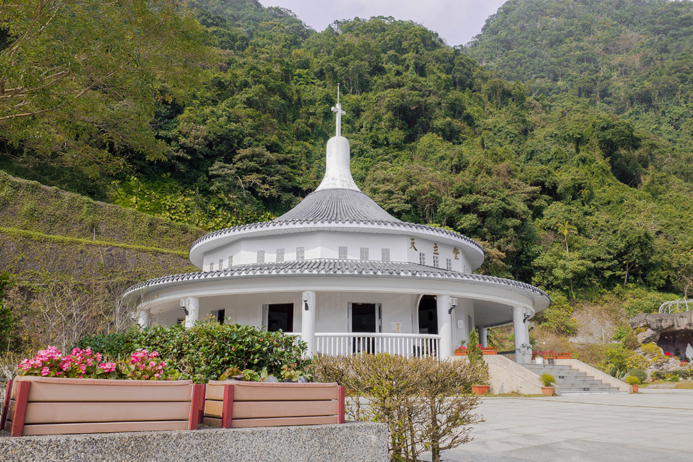
We took the bus to the Wufengqi Waterfall Area bus stop. From the bus stop just follow the stream uphill. If you want to go straight to the trailhead of the Shengmu Peak Trail, follow the dirt track on the left. If you want to go to the Wufengqi waterfalls first, take the stairs to the right. Near the second waterfall there is a path that connects to the dirt track, which goes further uphill to this circular and beautiful Catholic church.
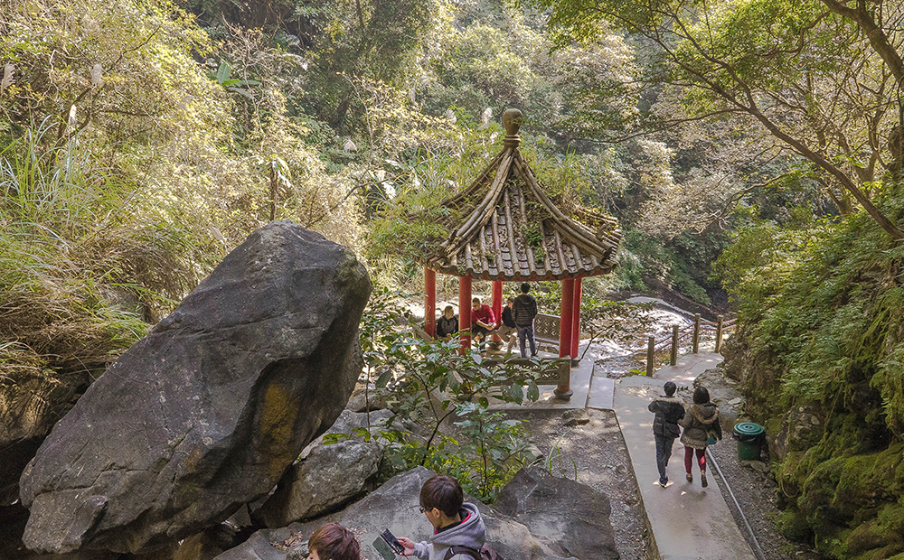
Continue uphill behind the church and the track soon becomes a broad gentle grade easy-to-walk path that slowly takes you uphill until, after 3.7km you reach Tongtian Bridge. Right beside the bridge is a pavilion where you can take a rest before you continue on the steeper trail to Shengmu Peak.
The trail then first follows a mountain stream (watch out for slippery stone slab steps!) through a forest. This is how the trail is like after you have passed Tongtian Bridge:
Every 100 meter there is a distance marker, telling you how far you have come. The distance from the pavilion to Shengmu Peak is 1.6km and takes about 90 minutes to walk. There is another pavilion at the 700m marker. Higher up you come through an area with lots of fern:
Even higher up you leave the forests and walk past silver grass or arrow bamboo (?; anyway, tall grass, no trees 🙂 ).
That’s when the scenery gets pretty and you can see back all the way down to the Lanyang Plain and the ocean.
Finally you cross a little ridge and walk down to a basin where you see a large man-made pond of water on the left and a little hut, the Shengmu Hut on the right. The hut was being repaired when we got there. It is maintained by hiking groups who like to come up here and also go on more challenging hikes in the area. The trail to one mountain, Mt. Sanjiaolun (1,092m) starts right behind the hut.
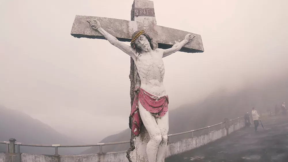
Most casual highers, however a content with just walking up the steep steps to a large concrete platform, where you can see a statue of Christ on the cross and have marvelous panoramic views in all directions. On one site you can see down to the coast and on the other the tall silver-grass covered mountains create a unique scenery making the steep climb here all worth the effort. Shengmu Peak is at an altitude of 905 meters above sea level and it can get misty and windy up there.
On the way back it started rain. This is how the rushing water of the stream looked:
Finally we went to the second Wufengqi Waterfall. It had been raining heavily the days before, so there was plenty of water coming down:
Some images I took on this hike:
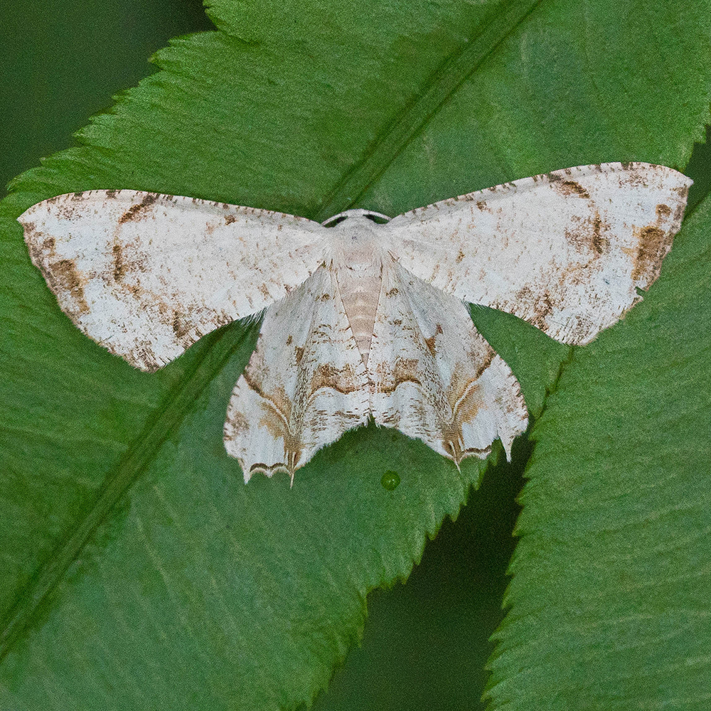
Some white moth
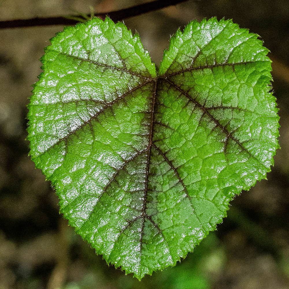
Cool looking leaf
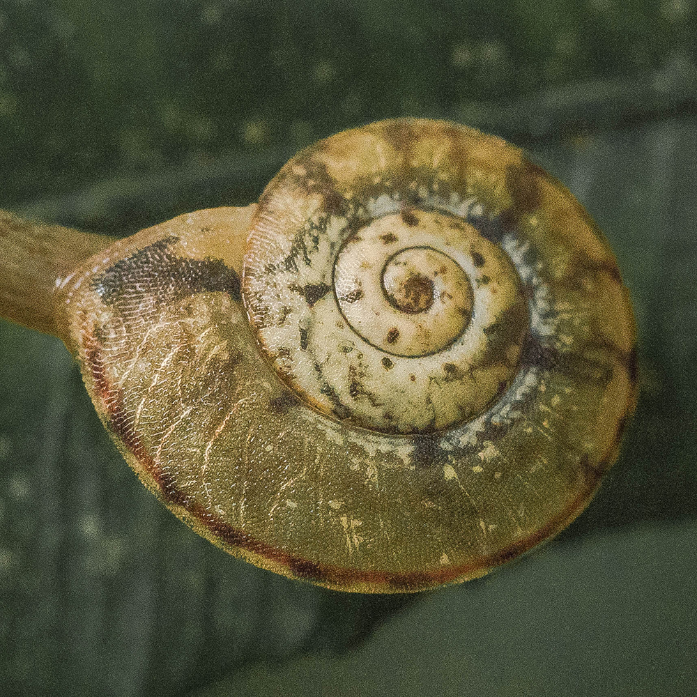
Tiny snail
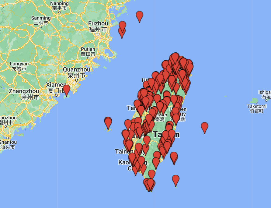
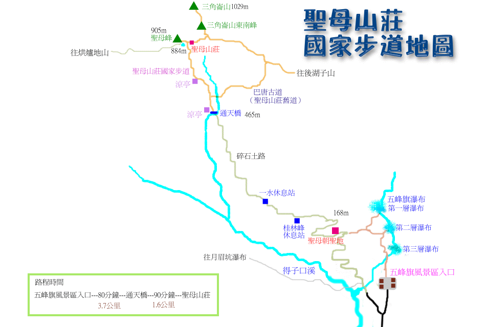
This is a Chinese map from Tony Huang’s website (http://www.tonyhuang39.com/) He is well known among local hikers:
Final note: This post is a bit of a test post. We go hiking every weekend. On this hike I had the ideo of combining text, video, and photos. Maybe next time I will do a bit planning beforehand. 🙂