Why Winter in Taipei Means Just One Thing: Beitou
TEXT | AMI BARNES
PHOTOS | VISION
From the historic temples of Wanhua to the luxury malls of Xinyi; from Daan’s leafy, boutique-lined lanes to Neihu’s tech hub; from Wenshan’s tea culture to the democratic heart of Zhongzheng, Taipei City districts offer many things to many people, but with November’s arrival and temperatures dropping, I know exactly where I’m headed: Beitou!
Taipei is a chameleon of a city, the kind of place that presents many differing faces depending on the season, the mood, or the personal interests of the traveler. So as a writer, being asked to summarize all that’s good about somewhere this textured and multilayered is something of a tall order – no matter what I include, there will be people with very valid arguments as to why their alternative picks are superior. To condense Taiwan’s capital into so few words (and to do it justice)? Impossible. I refuse.
Instead, I can take a focused deep dive, and in this chilly season, one district of the city deserves the spotlight more than anywhere else: Beitou. Easily reached by the Taipei Metro (MRT), Taipei’s hot-spring quarter is overflowing with historic sites and sits right on the edge of (and partly within) Yangmingshan National Park, meaning you can enjoy an uplifting combination of culture and nature before giving in to the urge to submerge. Like a warm hug in the shape of an urban district, there’s no better way to while away a wintery Taipei day.
Yangmingshan National Park
I could fill a whole magazine singing the praises of Yangmingshan National Park (www.ymsnp.gov.tw) – and if you look back through past issues of Travel in Taiwan, quite possibly have. Occupying 11,455 hectares of dormant volcanic landscape on Taipei’s northern shoulder, its forests and grasslands are shot through with hiking trails that suit all levels of fitness and time constraints. Here, we’ll focus on a handful of adventures that take Beitou as their starting point.
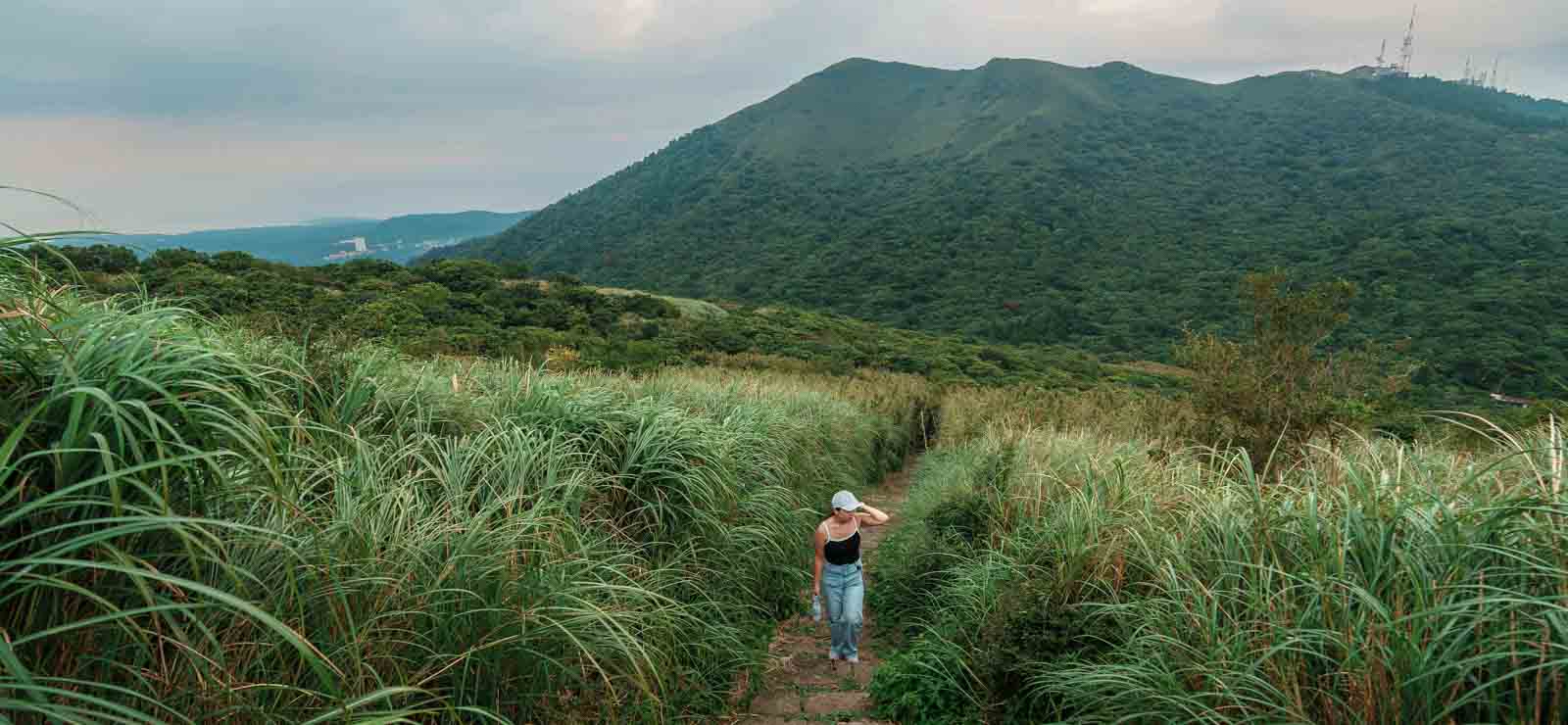
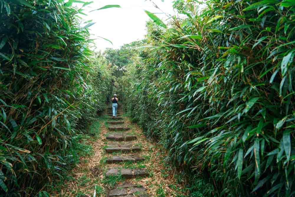
A classic in the area is the Mt. Datun Multi-Peak Trail. Starting from Qingtian Temple (you can take bus S6 from MRT Beitou Station to get there), stone steps climb past the remnants of old homesteads before a sharp right turn at a pavilion leads into a steep, rope-assisted scramble over muddy slopes to first Mt. Datun’s west peak, then the south peak. From there, you can take the easy way out and follow a gentle path towards the Erziping park area and the Balaka Highway (bus 108 to Yangming Bus Terminal), or – if you’ve still got juice in your muscles – you can push on and finish with an epic stairmaster of a climb up to Mt. Datun Main Peak.
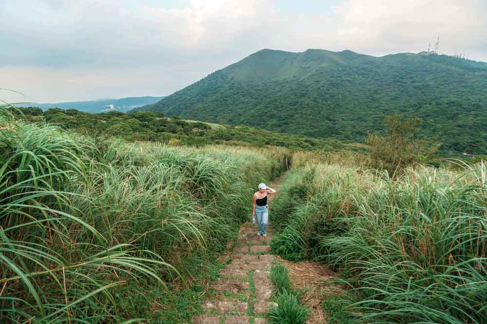
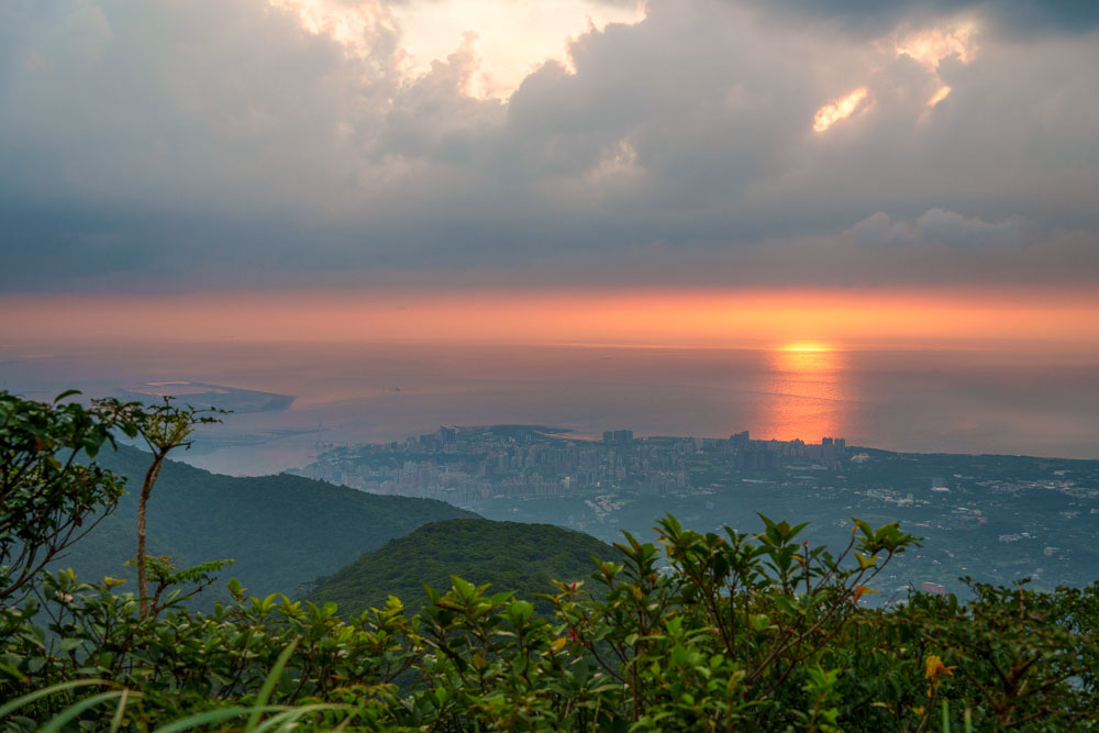
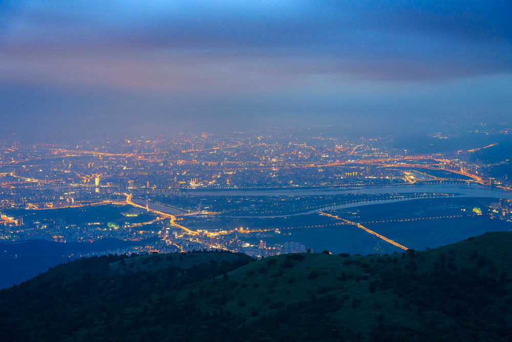
Why punish yourself so? The views are stupendous. On the clearest of clear days, before the haze settles over Taipei, you can even make out Mt. Snow (Xueshan), some 90 kilometers to the south, and when the conditions are right, it’s one of the best spots in Taipei for observing the sea of clouds phenomenon. This route also forms part of the longer Taipei Grand Trail (taipeigrandtrail.gov.taipei), so if you enjoy challenges, you could use this as your springboard to further adventures.
Another solid choice is Xiangtian Pool Trail. This walk branches off the above trail about 1 km from Qingtian Temple and brings you to the titular pool – an ephemeral body of water that appears suddenly after prolonged periods of heavy rain and disappears almost as quickly. The fleeting nature of this scenery is enough to make it worthy of a pilgrimage, but here is the real reason this hike is one of my top picks: the pool is home to a population of Branchinella kugenumaensis. Commonly known as fairy shrimp, these odd creatures are cousins of the sea monkey, and like sea monkeys, their eggs enter diapause in dry spells, before springing back to life when there’s enough water. You have to be extremely lucky to coincide your visit with their hatching, but if you’re successful, you will have seen something you cannot observe literally anywhere else in Taiwan.
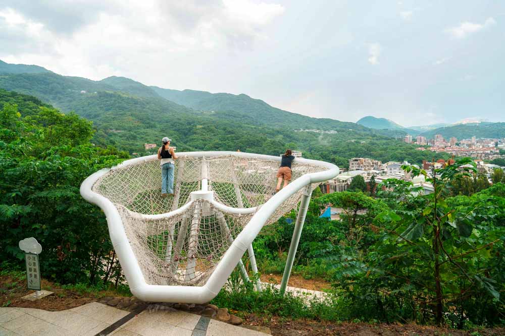
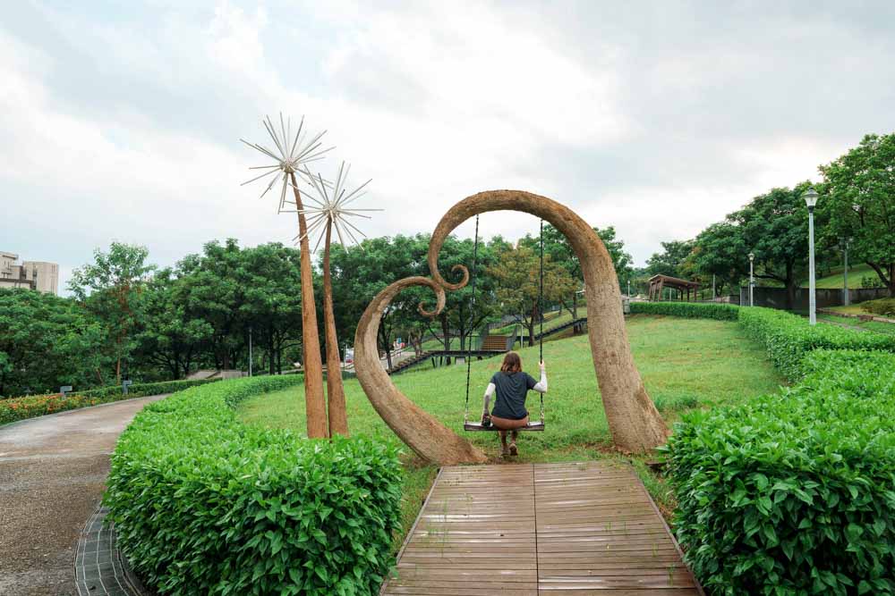
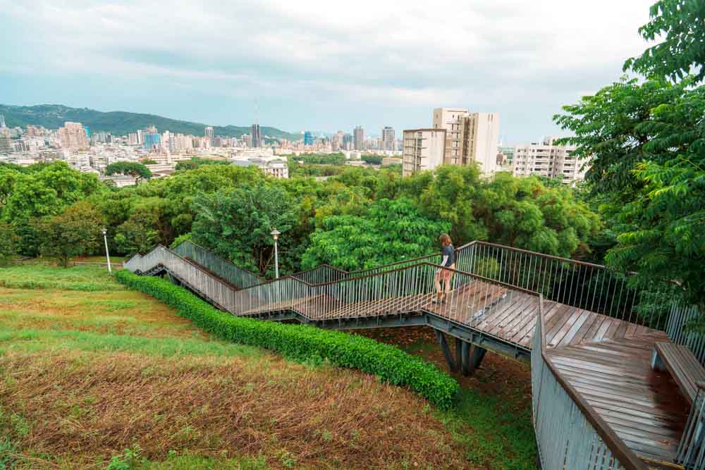
Don’t fancy endless steps? No worries, the lower hills around Beitou offer plenty in the way of easy ambles. An old winter favorite of mine is a meandering ramble along the heritage Shibafen Canal culminating in a visit to the steamscape of Longfeng Geothermal Valley, but the current shining star on Beitou’s easy-hike map is the brand-new Xiaoniupu Trail. This short walk offers a gentle wander designed around the theme of clouds. Starting beside the Guizikeng Stream, cute circular steps reminiscent of stylized clouds mark the trailhead, and halfway along there’s a giant cloud-shaped hammock in which visitors are invited to lie down and observe the skies. The walk ends with a stroll through Ki-Pataw Shan-Tseng-Chi Park, which – each January to March – erupts in a photogenic rainbow as blooms carpet the hillside in a colorful blanket.
Mt. Datun Coffee
A quick Google (or AI) check for ideal coffee-growing conditions brings up the following: The location should be within the tropics of Cancer and Capricorn, 800~2,000 meters above sea level, and receive 1,500~2,000mm of annual rainfall. How, then, can you explain the existence of Mt. Datun Volcanic Coffee 29 in Beitou’s Datun Village, well north of the Tropic of Cancer, only 300 meters above sea level, and with annual precipitation way off the upper end of the preferred range? According to farmer and owner A-Wei, you’d need to ask his uncle.
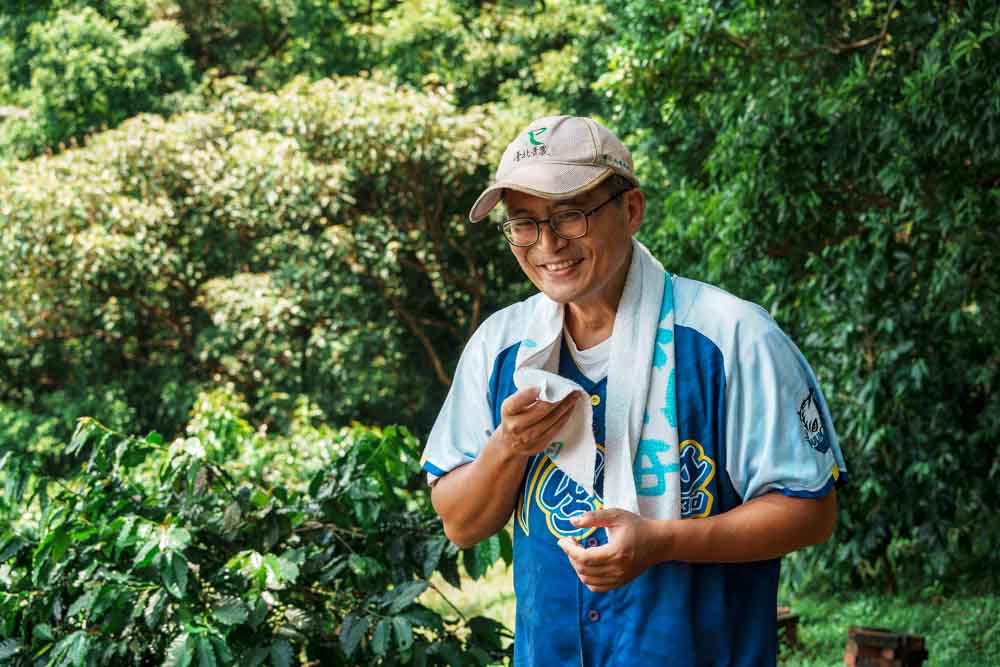
In 2003, Taiwan’s second coffee-cultivation wave had crashed over the island, and as energy gathered to launch the third, A-Wei’s uncle gave up growing oranges and bamboo shoots to go all-in on coffee. Thanks to his plot’s southwestern aspect (offering protection from Taipei’s winter monsoons and seemingly never-ending drizzle) and its volcanic soil (famed for producing sweet, complex roasts), his gamble paid off. Still, A-Wei remembers the family being nonplussed by his uncle’s sudden pivot – he himself certainly had no appetite for a future out in the elements, envisioning a comfortable 9-to-5 office job instead.
To that end, A-Wei pursued a career in business until a stint living abroad forced a perspective shift. When fellow travelers waxed lyrical about their countries, he realized that he could only offer superficial references to Taipei 101 or bubble tea. “How,” he reasoned, “could I expect anyone to care about Taiwan if I couldn’t tell them why it was worth caring about?” This realization gave him purpose. He determined to reconnect with his homeland and share it with others, and so upon returning to Taiwan, he asked his uncle if he could take over the family coffee farm. His uncle agreed, and Mt. Datun Volcanic Coffee 29 was born. The only problem? A-Wei knew nothing about coffee farming.
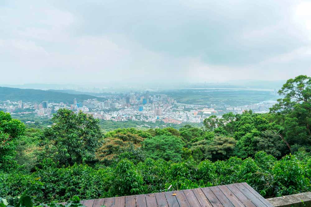
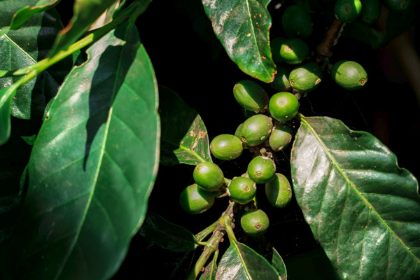
Through self-study, trial and error, and assistance from others along the way, he learned how to care for his crops, eventually settling on a low-interventionist, fully organic approach. When Travel in Taiwan visited on an intensely hot August morning – during the farm’s fallow season – dense clusters of shiny, unripe coffee cherries weighed down the branches, and as I waded through tall grasses, each step sent drifts of panicked grasshoppers pinging into and away from my shins, and dragonflies zipping through the air above me. A full decade after A-Wei took over the farm, it’s clear the ecosystem and his 1,000+ trees are thriving.
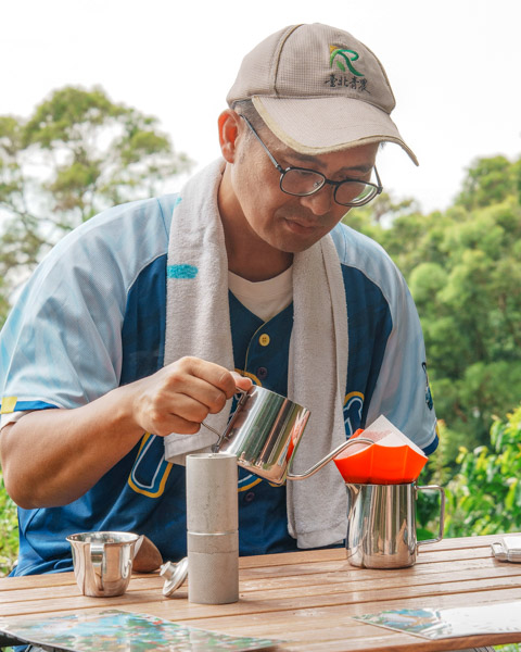
In a normal year, the harvest runs from about November to March, during which time visitors can partake in hands-on picking and roasting experiences. In summer, there are no cherries for guests to pick, but we didn’t miss out entirely when we visited. With cicadas serenading us and an afternoon storm brewing over the distant Guandu Plain, A-Wei pulled out a fresh batch of his honey-processed beans (roasted just a week prior) and prepared them for us with all the deliberate precision of a sommelier – passing the sweetly smooth tawny liquid to us in glass espresso cups. For most, a cup of coffee is just a way to start the day, but for connoisseurs it’s often an epicurean exercise in comparative taste sensations. And here, amid the coffee trees, sitting on the soil that nourishes them, and under the sky that provides them with sun and water, the simple act of drinking felt like a conversation with the land.
Visits to the farm can be arranged via email, Facebook, or LINE (NT$800 per person; introduction in Chinese or simple English).
Mt. Datun Volcanic Coffee | 火的意志 大屯火山咖啡園
Add: Ln. 355, Fuxing 3rd Rd., Beitou Dist., Taipei City
(台北市北投區復興三路355巷)
Tel: 0920-719-371
Facebook: facebook.com
Website: volcano29.com
Xinbeitou
When the Basay – the indigenous group that first settled present-day Beitou – saw the otherworldly landscape of stinking, steaming vents, they named it Ki-Pataw, Village of Shamanesses. And though, at first glance, it might seem this occult nomen loci has been obscured by the mists of time, the Taiwanese name, Pakthâu, emulates the Basay pronunciation, and Beitou is simply how Pakthâu shakes out in Mandarin – so the witchiness lingers, much like the scent of sulfur in the air.
Curious toponyms aside, Beitou’s geothermal activity has long drawn travelers seeking a soak, and has bestowed it with a wealth of scenic attractions. Disembarking at MRT Xinbeitou Station, evidence of this history as a tourist spot greets you almost immediately in the form of the Japanese-era Xinbeitou Railway Station (now housing a small museum). With its red-cedar frame and lopsided oeil-de-boeuf dormer windows (the uncharacteristic wonkiness resulting from a later expansion), this was Taiwan’s first station built expressly for tourism, and when it opened in 1916, bathers flooded into Beitou via train to enjoy the newly constructed hot-spring facilities.
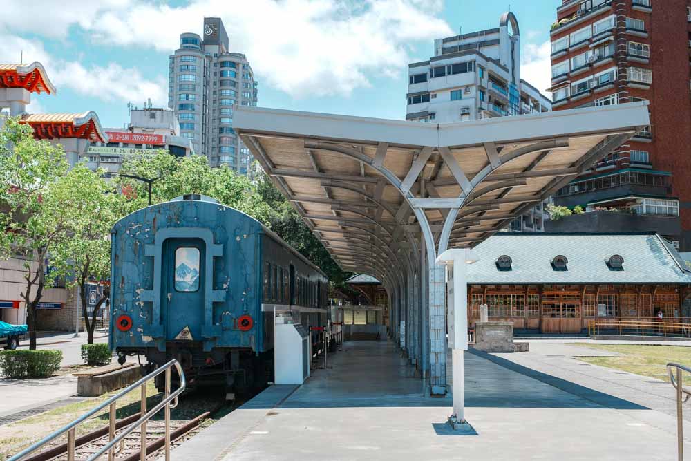
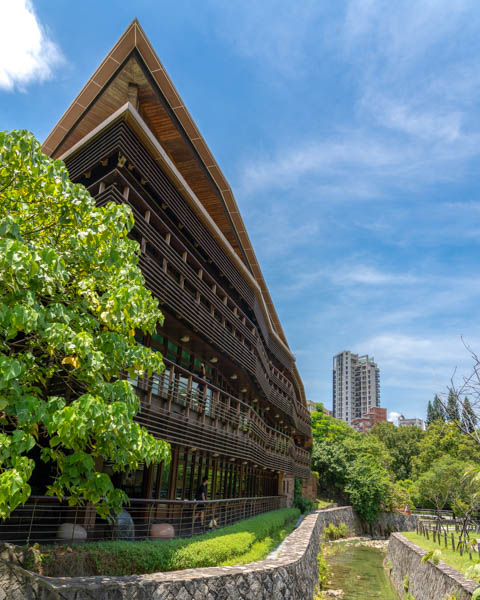
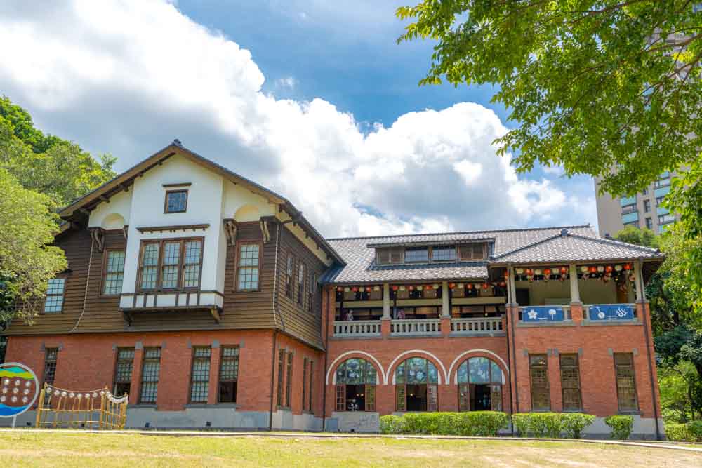
From the old station, cross Guangming Street to enter Beitou Park, a narrow green ribbon that’s home to several of the district’s best-known sights. First up is the Taipei Public Library, Beitou Branch, a dramatic wooden structure – somewhat resembling an ark – that transitions from elegance to coziness as night gathers and the interior lights up. Nearby is the Beitou Hot Spring Museum (hotspringmuseum.taipei), occupying the former Beitou Public Bathhouse, a pretty Japanese-era red-brick-and-timber building completed in 1913. The ground-floor bathing areas have been restored to their former understated glory, and interpretive displays outline Beitou’s unique geological resources and hot-spring culture, but my favorite part is the airy upper-floor tatami room, where you can lounge in the comfortable breezes or stroll along a balcony enjoying the park scenery.
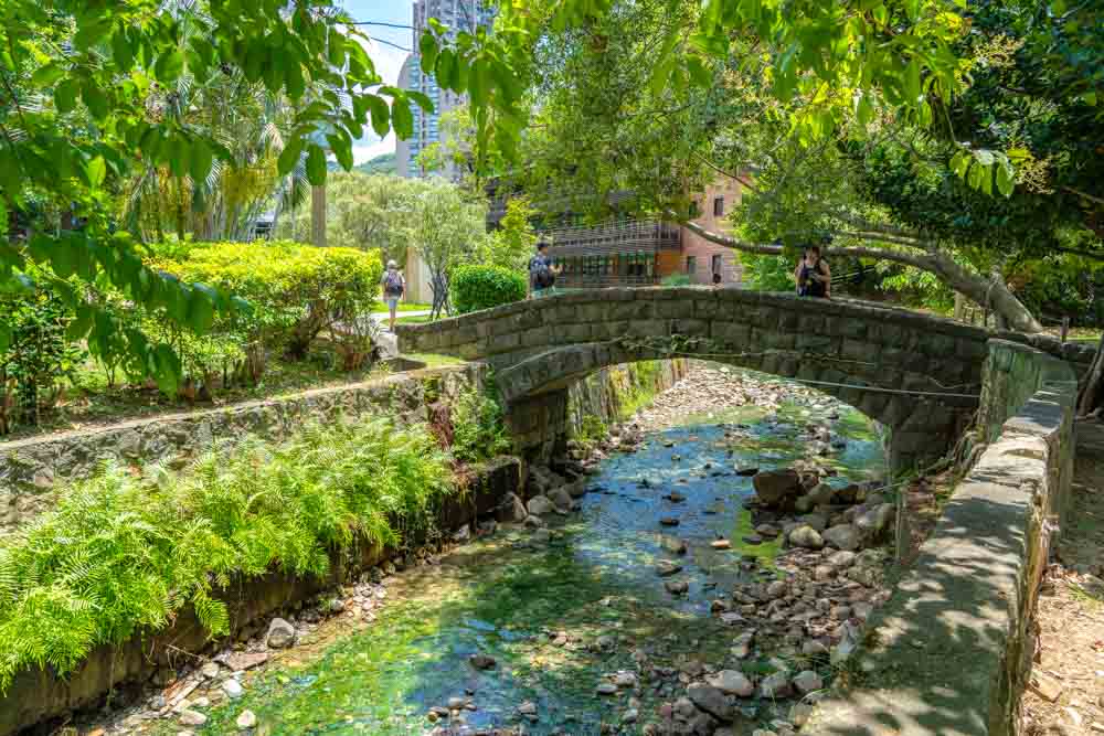
If the museum has left you yearning for the real thing, you’re in luck – the Beitou Public Hot Springs are right next door, and though this expansive complex may lack some of the classical sophistication of its predecessor, it’s a beloved hangout among Beitou locals and tourists in search of an authentic Taiwanese way of passing a cool-weather afternoon. The facility has been closed for refurbishments since early 2025, but assuming there are no further delays, it should be open by the time this goes to print – just check that your cozzie adheres to the dress code (no loose trunks; swim caps for all – yes, even follicly challenged folks).
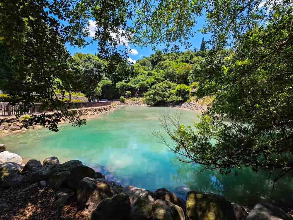
Leave the park behind to wander uphill along the adjacent Zhongshan Road, and you’ll soon arrive at Beitou’s Thermal Valley. On a bright morning, milky vapors dance languorously across the water’s surface, illuminated by slanting sun, while on dreary days the sulfurous stench combines with the general atmospheric gloom to illustrate the infernal inspiration behind the spot’s nickname, Hell Valley.
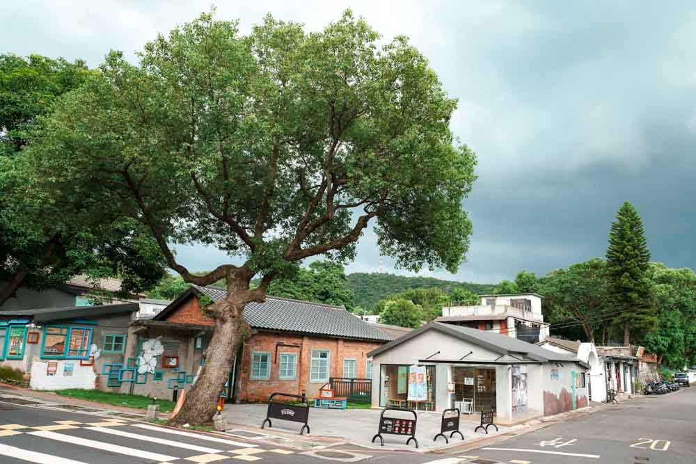
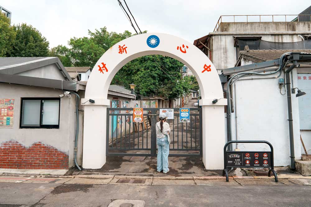
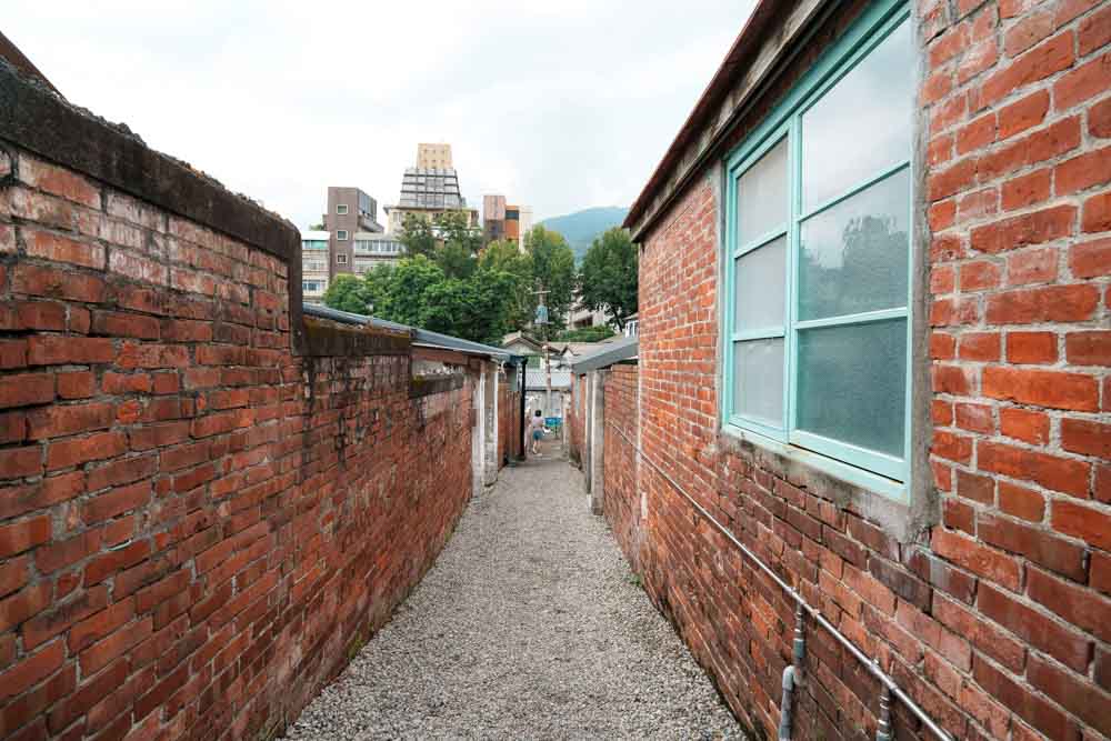
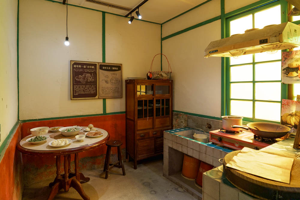
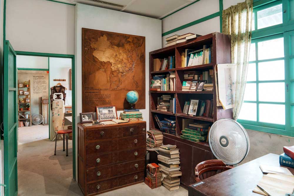
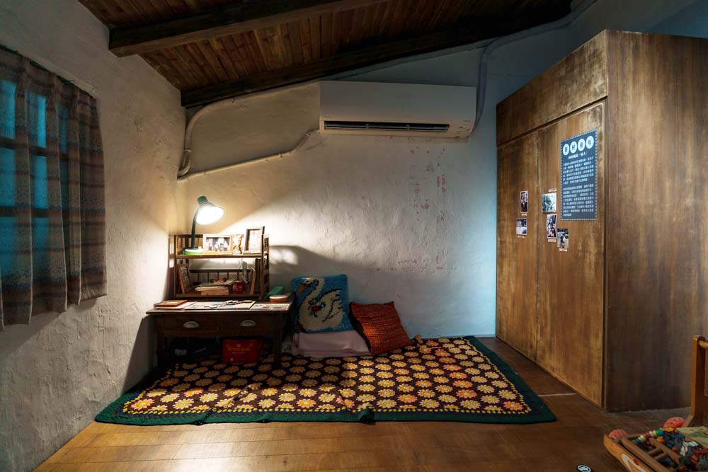
For the final attraction on this decidedly non-exhaustive tour of Beitou’s sights, we’re heading to Heart Village (www.beitouheartvillage.taipei). One of many such ad hoc settlements thrown up across Taiwan in the wake of the Nationalists’ 1949 flight from China, most of the early inhabitants were soldiers and their families employed at the adjacent military hospital, living cheek by jowl in cramped units. Several of the houses have been refitted with salvaged furniture to give you a sense of how they would have looked; others have been turned into archives-cum-galleries for sharing former residents’ stories, and the neighborhood’s northwestern corner seems to be morphing into some kind of creatives’ village, with studios and workshops bringing fresh life to the old lanes.

Highlights
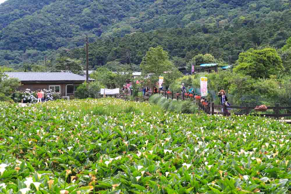
May, drawing visitors who come to pick flowers and sample farm-grown vegetables.
By combining its flower industry with local natural and cultural resources, the area has
become one of Taipei’s leisure agriculture zones and a beloved travel destination.
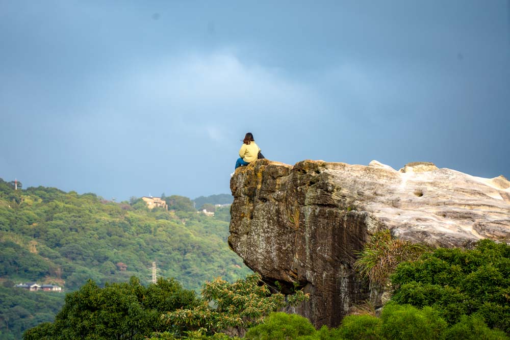
a battleship, hence the name. It is easily reached by public transport, followed by a 30-min
walk from MRT Qilian Station, and is a favorite among the local hiking community. From
the rock, visitors are rewarded with sweeping views of the verdant hills nearby and central
Taipei in the distance.
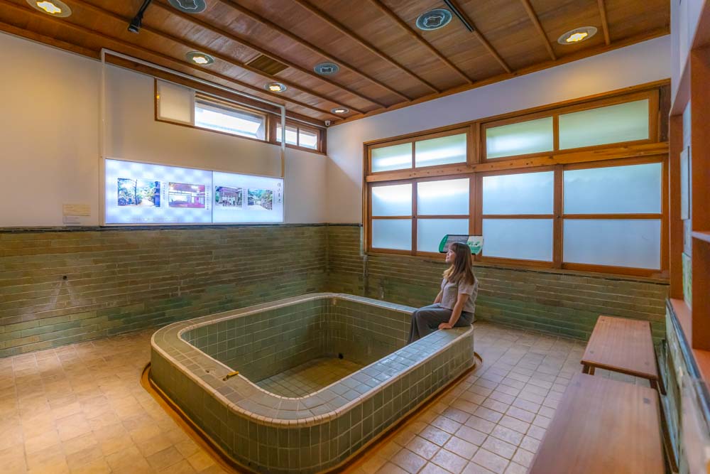
Taiwan Folk Art & Antique House. In 1984, the premises were converted to their present
use as a museum dedicated to Taiwan’s early folk arts and everyday artifacts. The
collection includes nearly 5,000 items, ranging from folk crafts and indigenous art to
traditional costumes and embroidery.
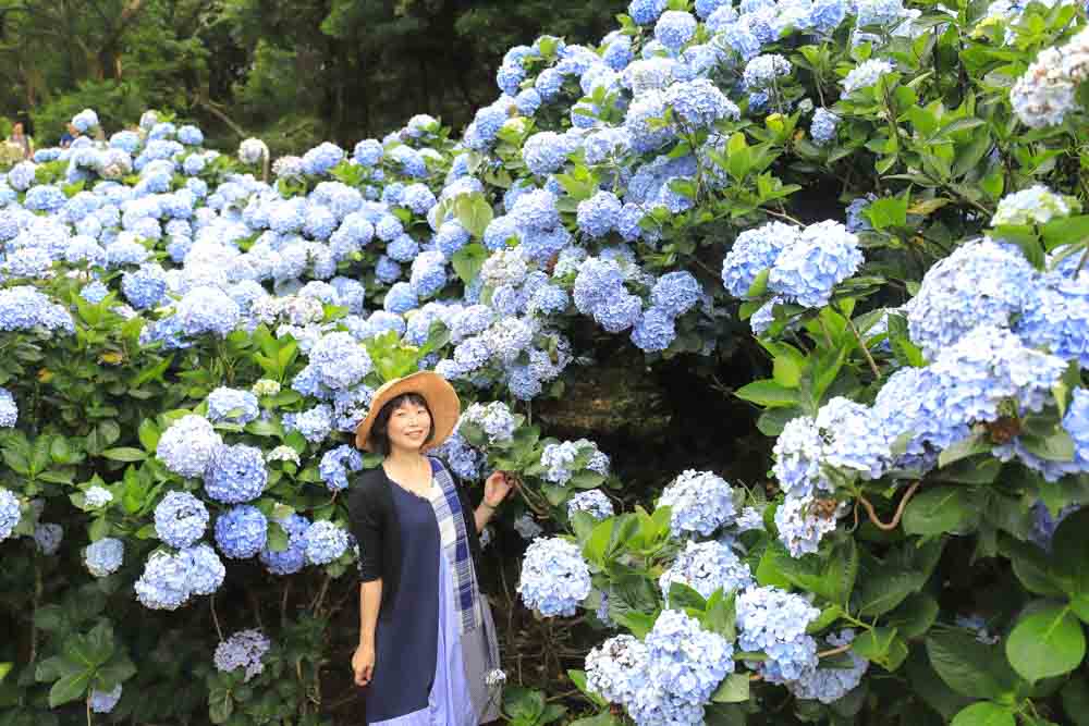
paint the hillsides in shades of blue, pink, and purple. As part of the annual
Zhuzihu Calla Lily & Hydrangea Festival, agricultural tourism events are organized
by the Beitou District Farmers’ Association during the season, including flowerfield
tours, dried-flower DIY workshops, and local-food experiences.
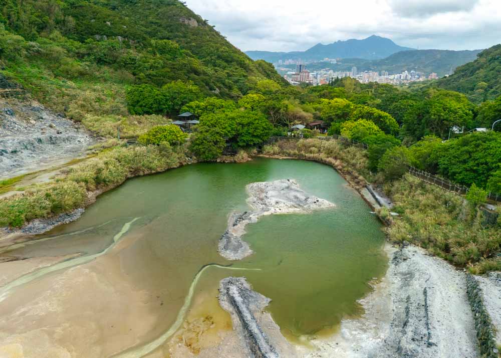
southern end of the Datun Volcano Group, the valley’s swirling steam and pungent
sulfuric scent are immediately noticeable. Its acidic “white sulfur” springs have made it
a popular spot with sightseers and hot-spring enthusiasts, who can explore the valley
along the main trail and also enjoy foot-soaking in dedicated hot-spring pools.
About the author