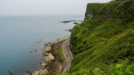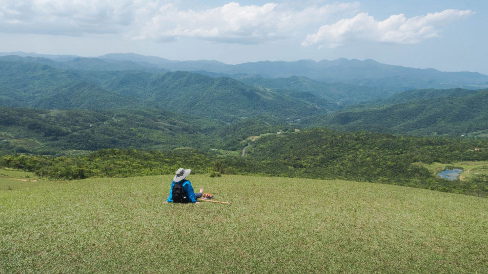
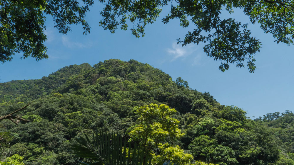
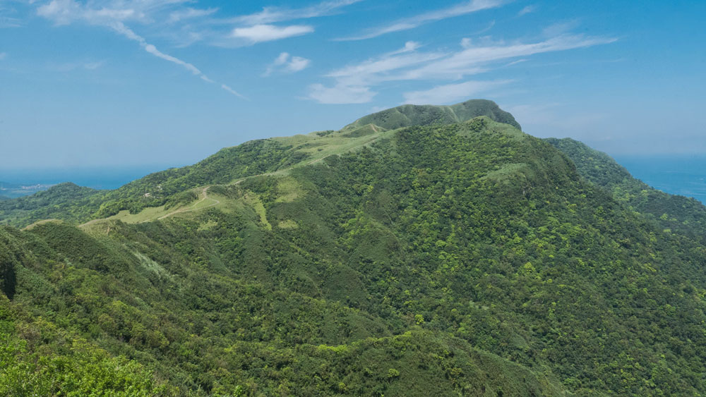
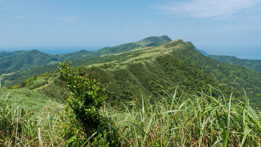
View from Taoyuan Valley north across the mountains southeast of Taipei
This time we returned to the northernmost part of Yilan County, to be exact, the coastal mountains between the villages of Dali (大里) and Daxi (大溪), to visit Taoyuan Valley (桃源谷), a grassy highland area with gorgeous views.
Getting There
Getting there is easy. Just take a slow train (EMU/Local Train) headed for Yilan from Taipei to Dali or Daxi. You can also get off the train a bit earlier at Fulong (福隆), the well-known beach resort town, to do the Caoling Historic Trail (草嶺古道) first, then, upon reaching the point from where you can see the Pacific, Yakou (埡口), turn right, instead of going downhill to Dali, and follow the coastal mountains all the way to Daxi. Breathtaking scenery awaits.
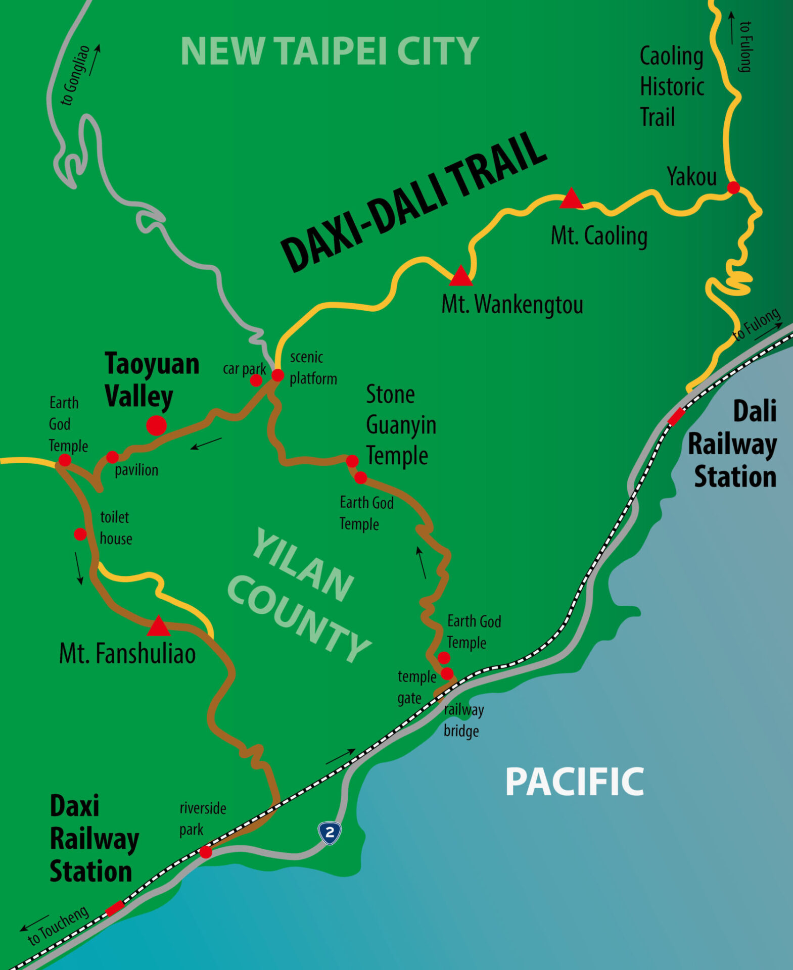
This time we took the brown route to get to Taoyuan Valley
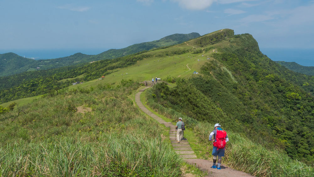
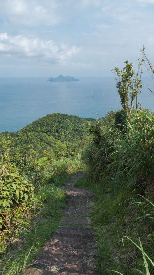
If you start at either Dali or Daxi the whole walk to the other village/railway station takes about seven hours depending on your pace. You’ll have to conquer some steep section with a lot of stone steps but you will be rewarded by probably the best coastal views in northern Taiwan. From high up you can take in the ocean and the coastline below. Make sure to get an early start and only attempt the whole walk if you are in good shape.
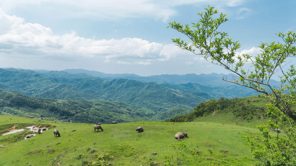
Grazing water buffaloes at Taoyuan Valley
After about two thirds of the way (when starting from Dali) you’ll come to what is called Taoyuan Valley. Grazing water buffaloes are responsible for the short cut grass here, similar to the Qingtiangang (擎天崗) area of Yangmingshan National Park (陽明山國家公園) in the north of Taipei City. While this “valley” is quite a distance from Dali and Daxi, it is surprisingly well visited on weekends, thanks to a small access road and a small car park, the road connecting to the town of Gongliao (貢寮), west of Fulong.
We had been to the area twice. The first time we attempted the walk from Dali during bad weather. Upon reaching Taoyuan Valley, tired and wet, we decided to hitch a ride down to Gongliao (we were lucky that there was a couple who had driven up there on such a miserable day). The next time we started at Daxi and walked only half the way up to Taoyuan Valley. That day was too darn hot and we decided to quit the walk and go back to Daxi way before reaching the grasslands.
This time weather and temperatures were perfect. Clear blue skies and warm spring weather. It’s highly recommended that you go there only when the weather is like that. In summer it can get really hot walking up the steep slopes, in winter the wind can be really cold, and if clouds are low you’ll see nothing but mist once you reach the mountain tops.
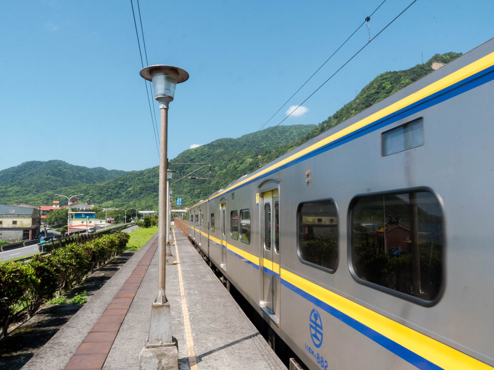
Daxi Railway Station is only served by slow Local Trains
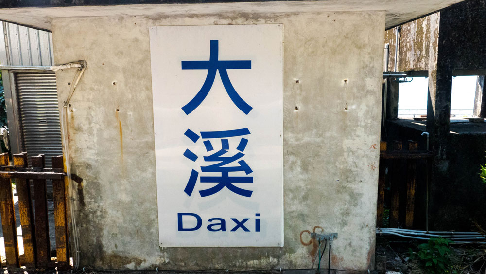
“Daxi” means “Big River” and should not be confused with Daxi in Taoyuan City
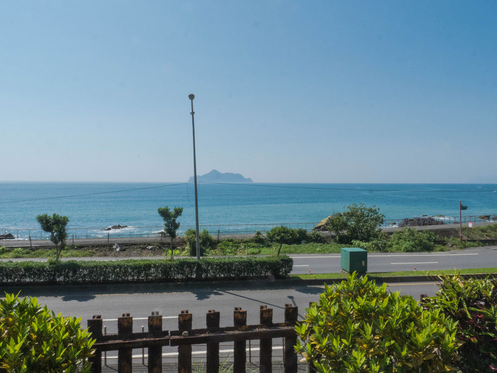
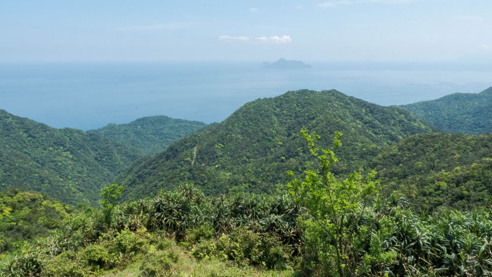
Turtle Island is your constant companion when visiting the northern coast of Yilan
Daxi Railway Station
We took the train to Daxi Railway Station and started from there. Instead of choosing the more popular route via Mt. Fanshuliao (蕃薯寮山; 456m) we decided to get to Taoyuan Valley on the Stone Guanyin Trail (石觀音線步道), which starts near the coastal highway, about halfway between Dali and Daxi. The trail is named for a temple dedicated to Guanyin, the Goddess of Mercy, which you will pass on your way up.
To get to the trail head, turn left after exiting Daxi Railway Station. Walk about 25 minutes north along the highway. You will see Turtle Island (龜山島) to your right. The river you’ll pass (take the smaller road parallel to the highway to avoid dangerous encounters with gravel trucks on the shoulder-less highway bridge) is presumably the reason for the village’s name, which translates as “Big River”.
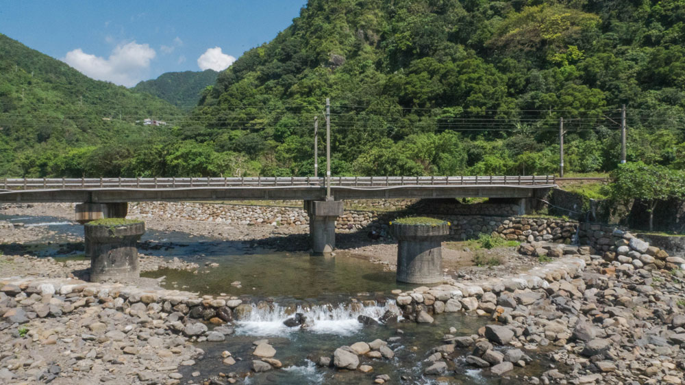
Railway bridge over the “big river”
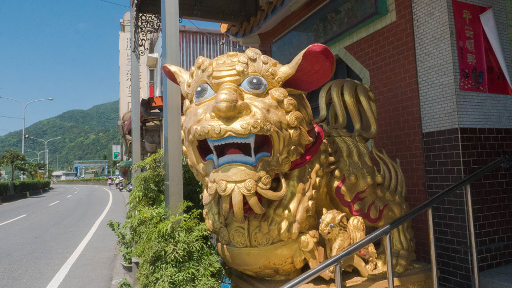
Lion at temple in Daxi
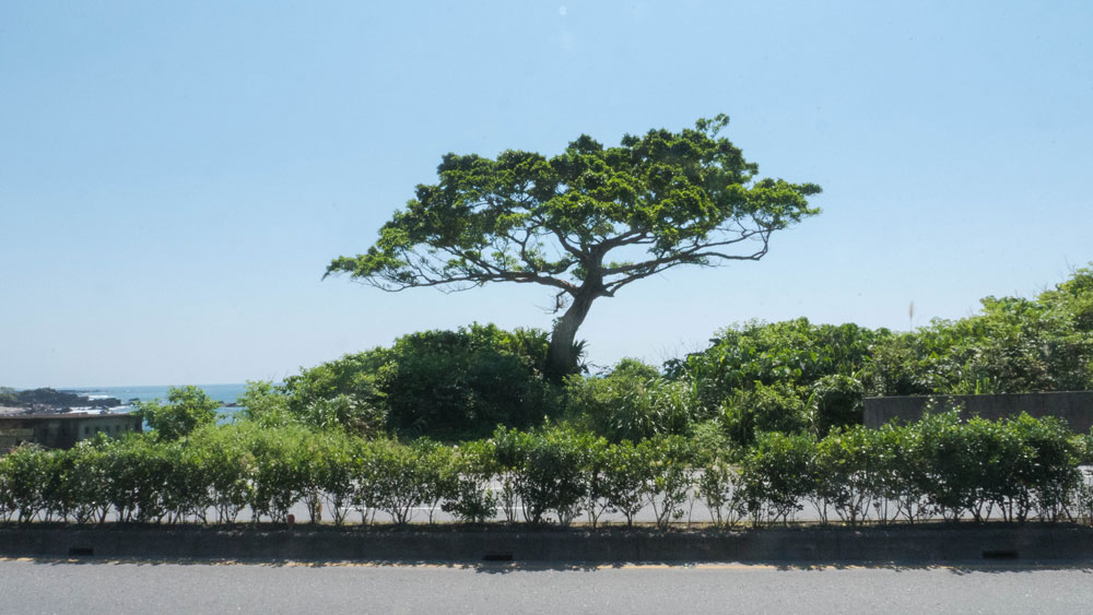
Interestingly shaped tree right beside the highway
There is a small riverside park with a pavilion. Behind the pavilion starts the trail up Mt. Fanshuliao, which connects to Taoyuan Valley. Press on and look out for another small river. Cross it and turn left onto the minor road beside it that goes under the railway line. Turn right immediately after crossing under the railway bridge. Then follow the railway tracks for about five minutes and you’ll see a sign pointing you to the Stone Guanyin Trail (“Shi Guanyin Temple”). There is also a rather new and colorful temple gate.
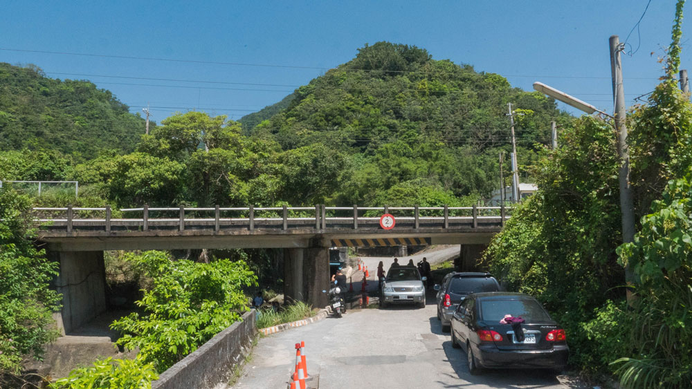
Take this small road and cross under the railway bridge
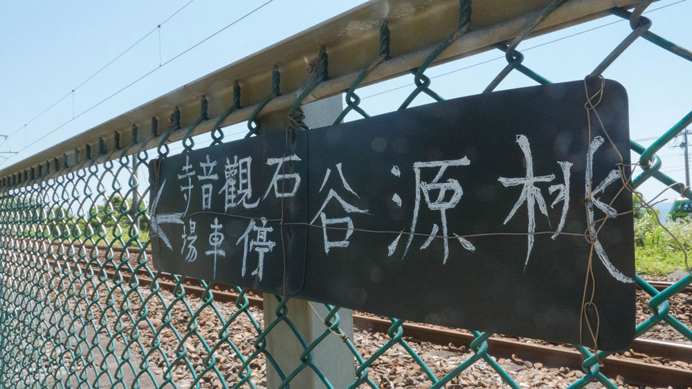
This sign points you in the direction of the Stone Guanyin parking lot and Taoyuan Valley
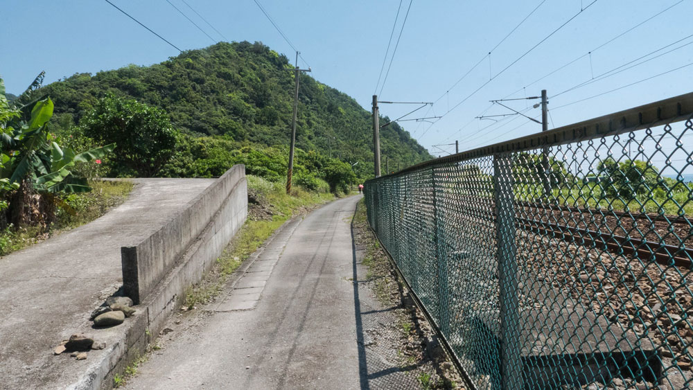
Walk along the railway tracks
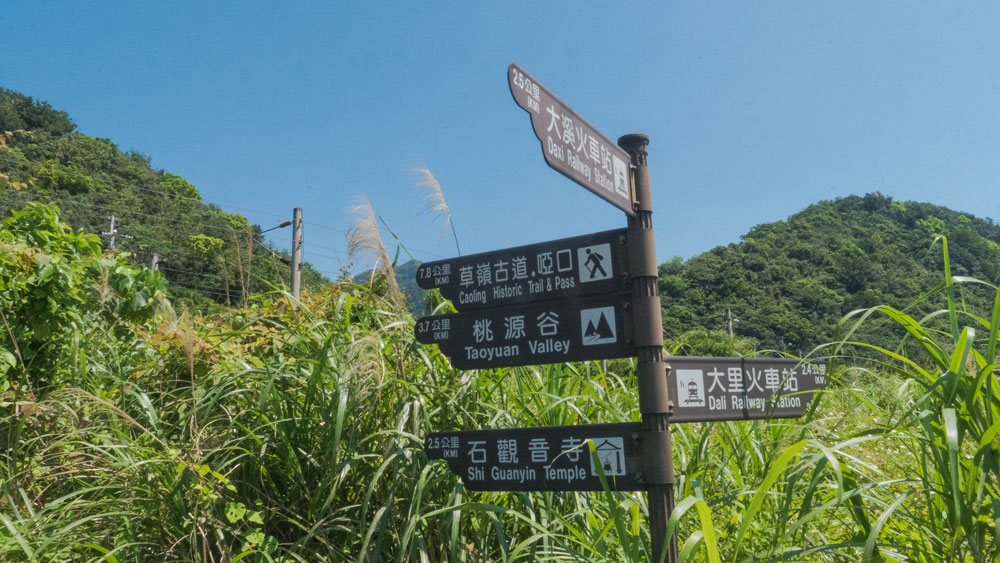
3.7 km to Taoyuan Valley
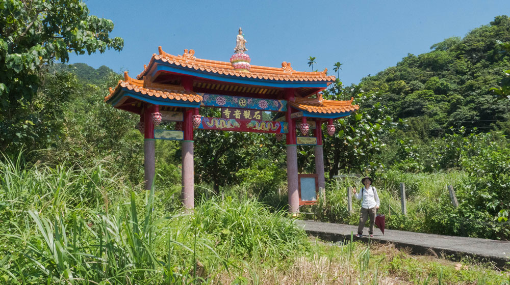
Stone Guanyin Temple gate
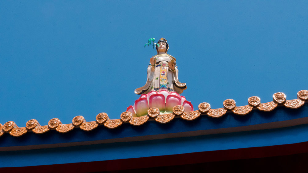
Guanyin, the Goddess of Mercy
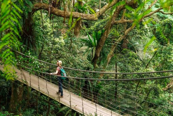
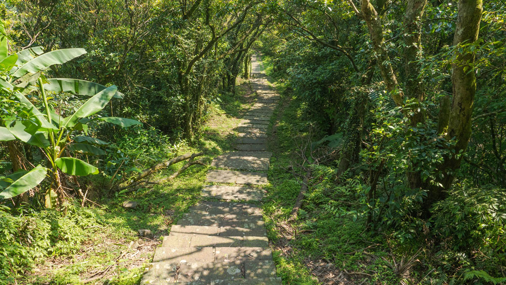
The trail first goes gently uphill and is covered by tree shade
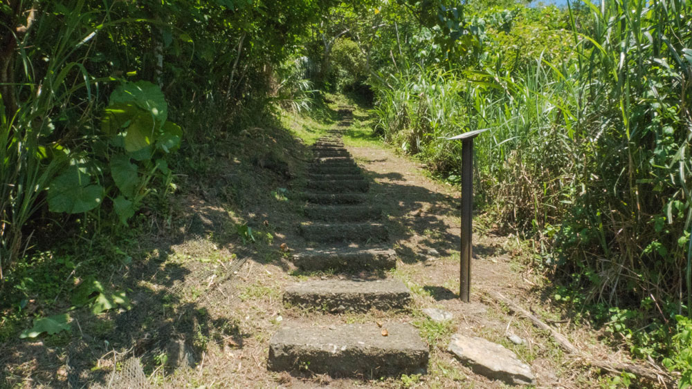
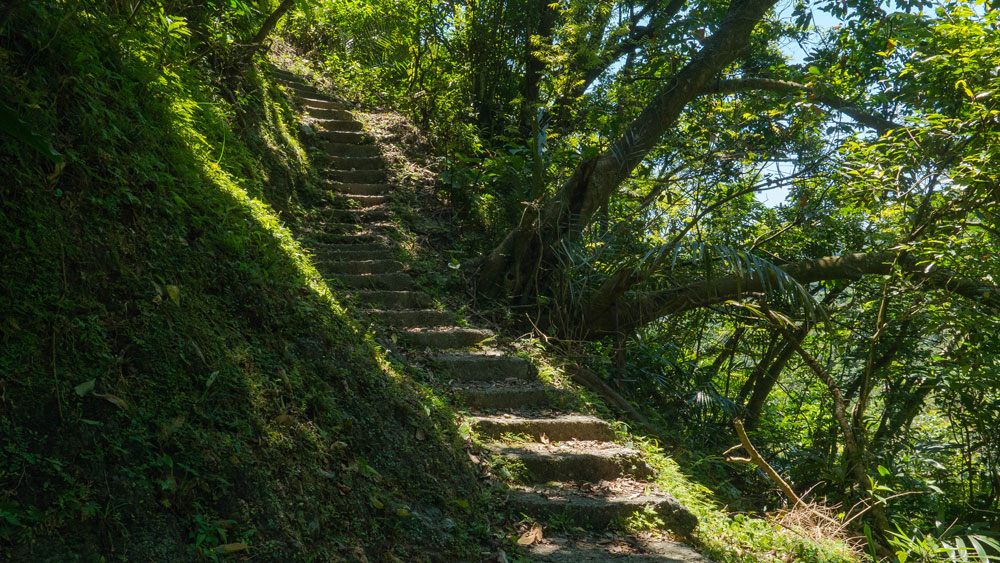
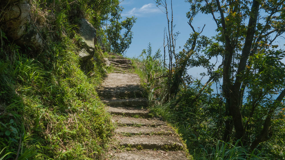
Soon after passing that gate you’ll spot an Earth God Temple to you right and after that the trail starts in earnest. For most part the trail has old concrete steps that have been subjected to the elements quite a bit. On a good sunny day the trail is perfectly fine. One a wet and rainy day, however, the steps can get really slippery and going will be much tougher.
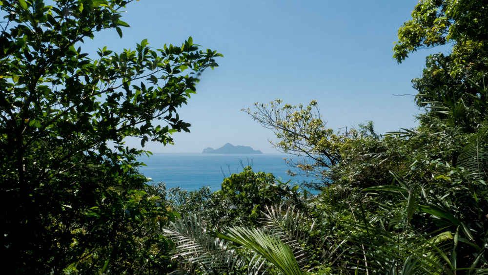
Looking back at Turtle Island
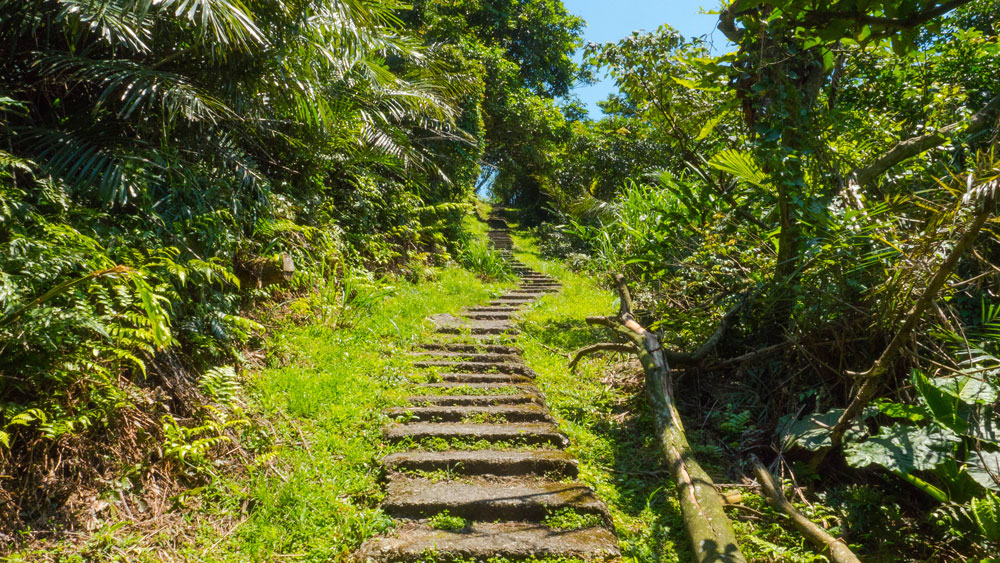
Easy walk uphill through lush forest
Pleasant mountain scenery
A bit steeper, but still shady
For the first stretch the trail is under the cool shadows of trees and it isn’t steep at all. The steep sections only begin when you get close to the Stone Guanyin Temple. On the Sunday we went there, the people managing the temple had Buddhist music playing over loudspeakers. If that’s the case, you’ll “hear the temple” long before you see it. The whole valley is entertained by the music it seems. This can be annoying or comforting, depending on your disposition. We didn’t mind.
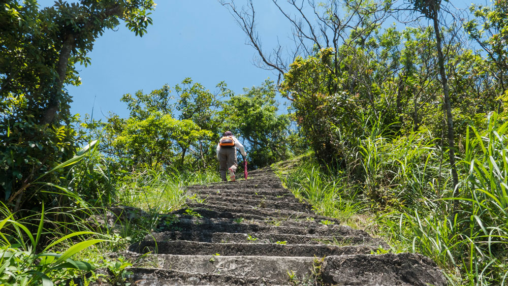
Then it gets really steep and sunny
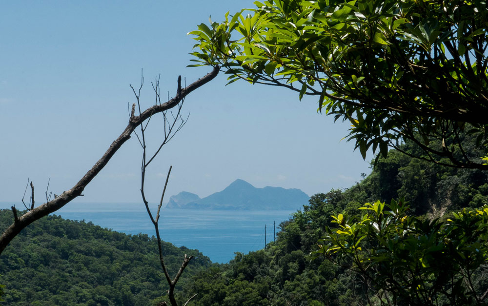
Turtle Island again
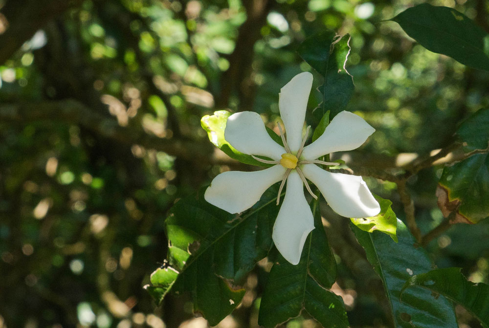
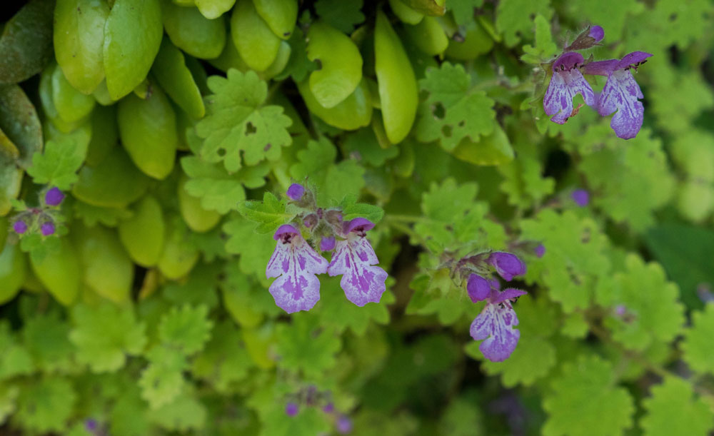
Interesting flower along the trail, the yellow parts look like a spider
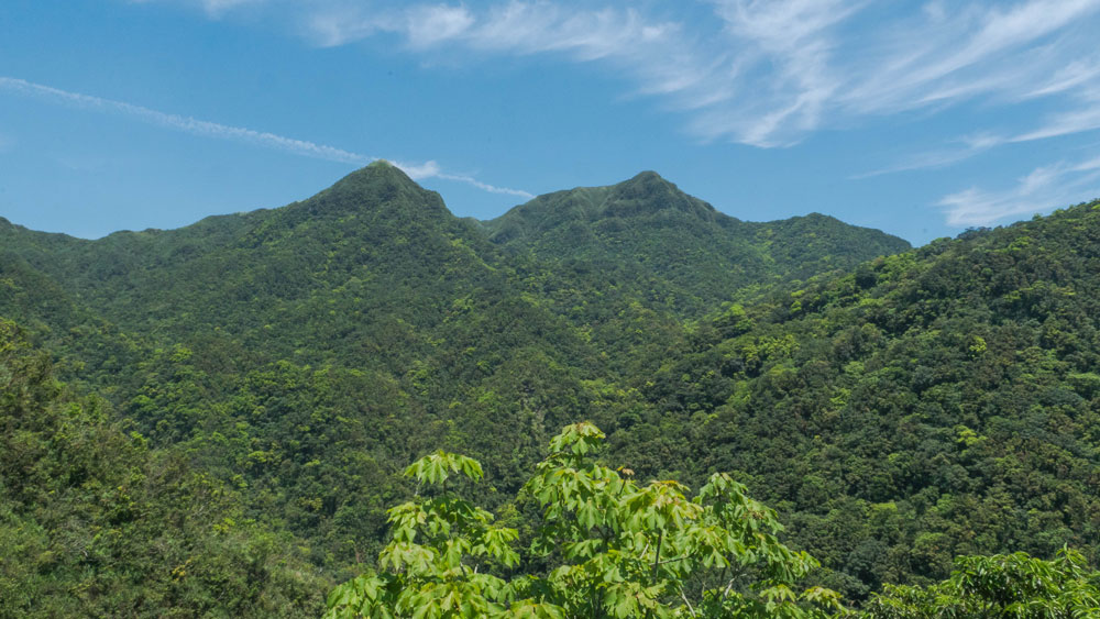
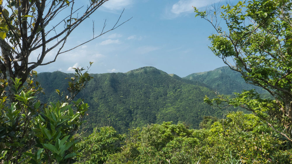
The high coastal mountains between Dali and Taoyuan Valley
It takes about 90 minutes to get from the trail head to the temple
Stone Guanyin Temple
Before reaching the temple, there are some really steep sections without tree shadow. Bring plenty of water on a hot summer day. There is another Earth God Temple you will pass before the path goes downhill to Stone Guanyin Temple. The temple itself is not that attractive. We didn’t go inside, but pressed on to get to the grassy areas. From the temple it’s about 20 minutes until you reach the main trail connecting Dali and Daxi, right were the small roads ends and people park their vehicles.
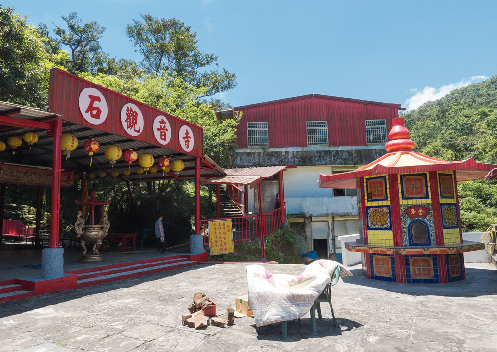
Stone Guanyin Temple, we didn’t look inside
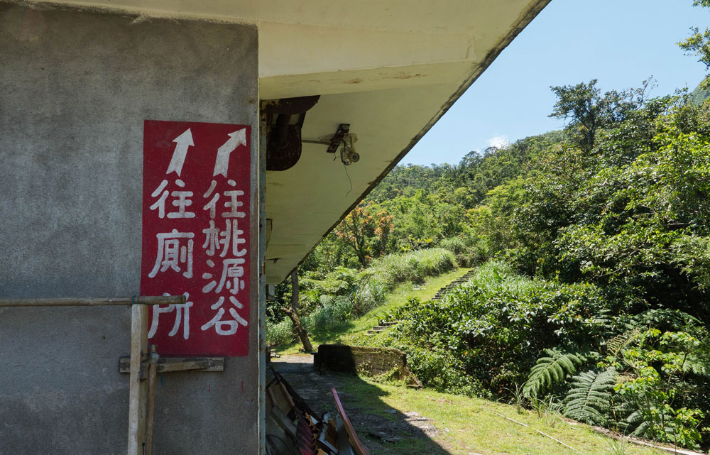
Sign to toilet and Taoyuan Valley. The toilet is broken…
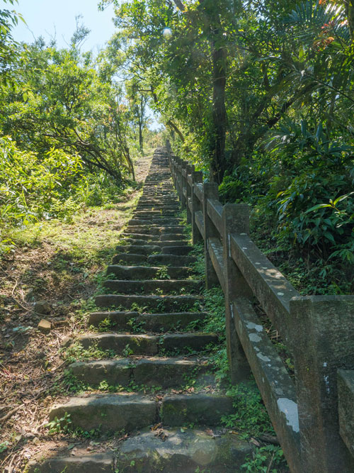
Steep section shortly after the temple
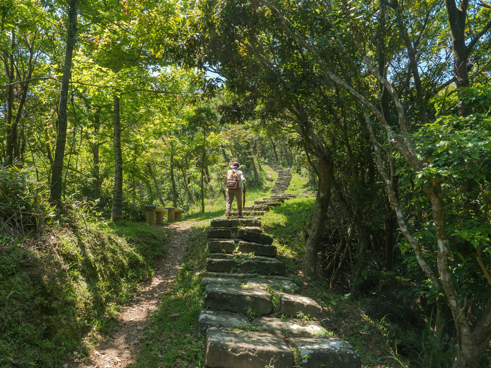
More gentle section further on
These flowers had a really strong (stinky) smell
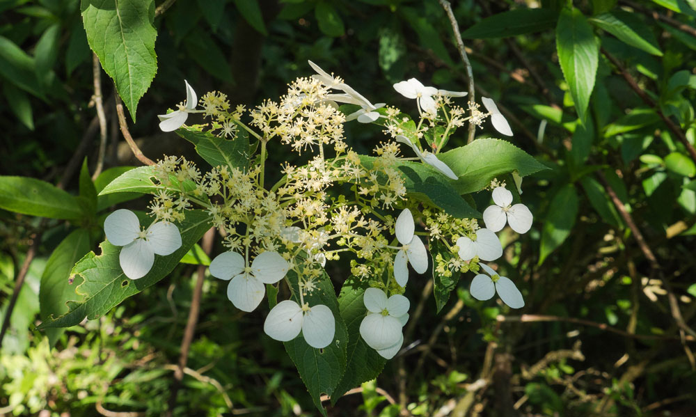
Those tiny flowers are cute
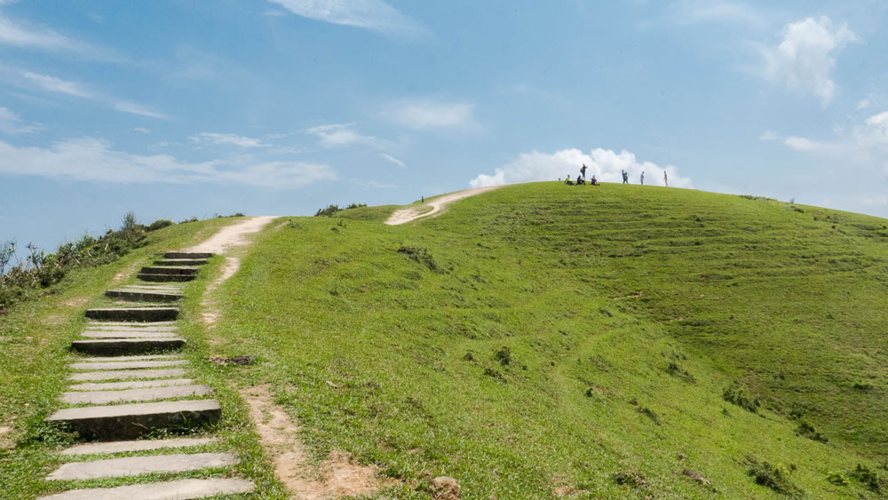
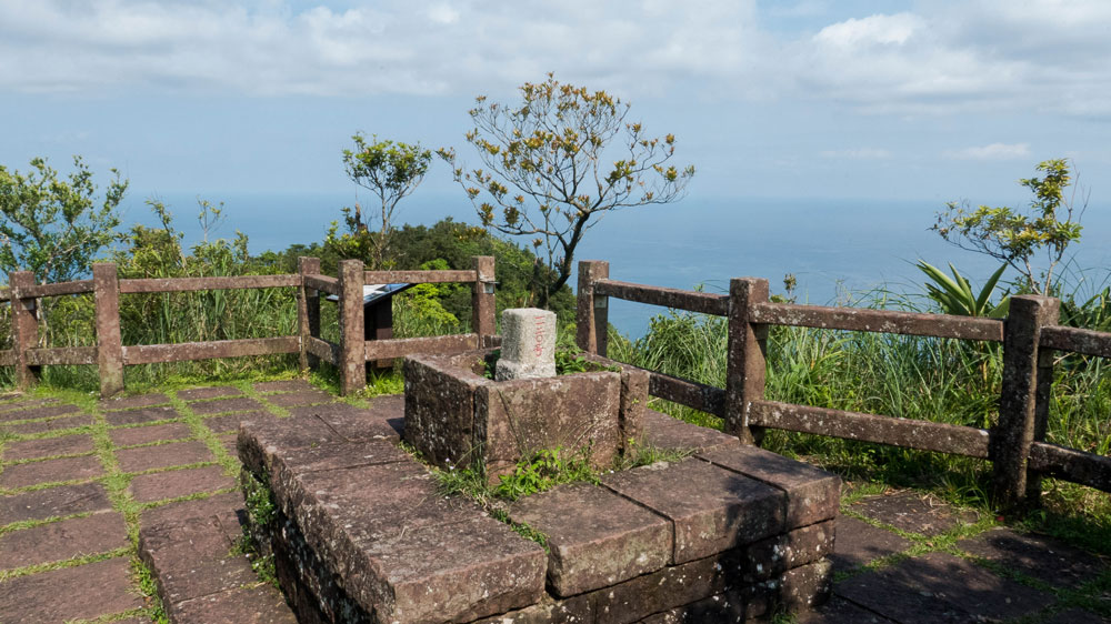
If you turn right and walk up the stairs you’ll soon come to a roofless scenic platform with great views. To the north you can make out the trail that goes up to the highest peak (Mt. Wankengtou; 灣坑頭山; 616m).
View from the roofless platform north
Looking down at the ocean
Taoyuan Valley
Turn left to reach Taoyuan Valley. It takes about 10 minutes to get to the highest point before the valley, and then you will have the green grasslands all laid out before you. The path goes down to the area were you can see water buffaloes grazing. They seem to be peaceful, but you don’t want to agitate them. There have been water buffalo attacks before, for example on the Caoling Historic Trail (usually when kids start messing with them).
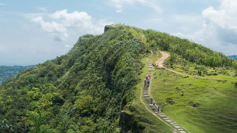
Taoyan Valley is behind that highest point
You could shoot a Windows background here…
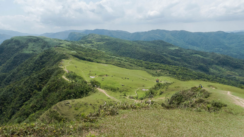
And finally, that’s Taoyuan Valley down there
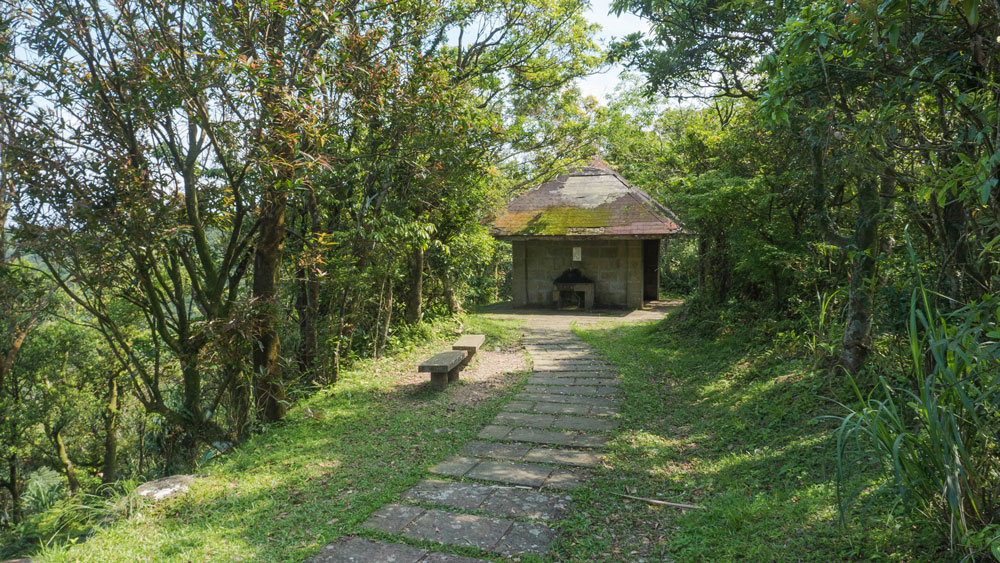
At the far end of the valley is a pavilion where you can take a rest and take in the scenery. The area is marvelous. On weekdays you might have the whole place all to yourself, safe for your bovine companions.
View from the pavilion north over Taoyuan Valley
View from the pavilion south
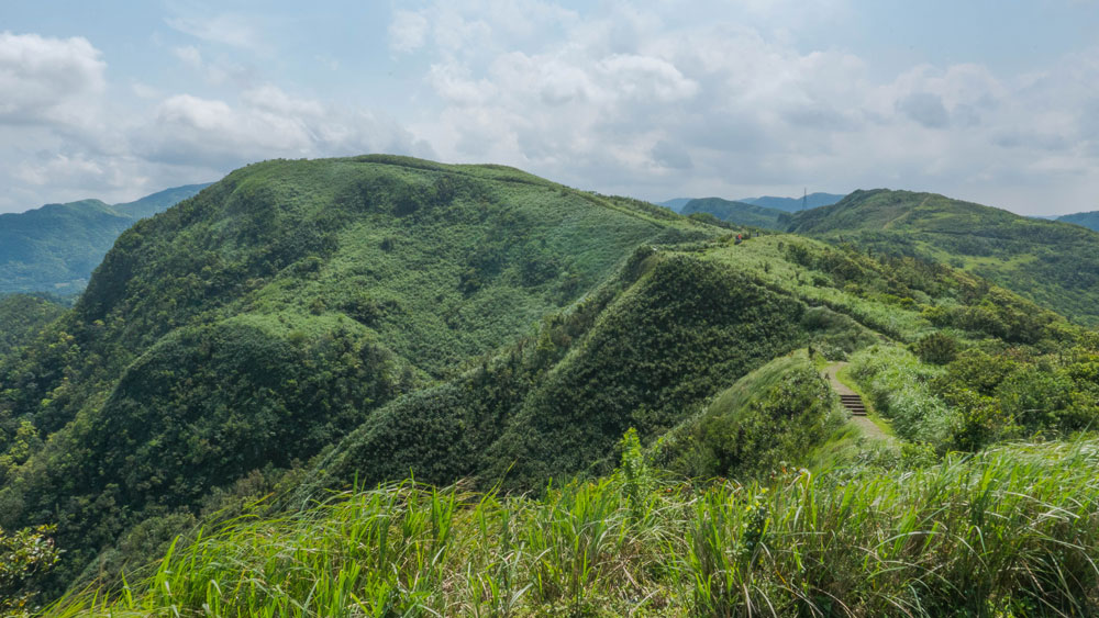
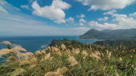
After resting for a while at the pavilion we headed south (we decided to walk back to Daxi via Mt. Fanshuliao). It is 5km down to the highway near Daxi. There are km markers beside the trail. The trail is easy to follow, there is a tall-grass section and you’ll have some great looks back at the valley and the coastal mountains. Then the trail goes downhill. You’ll pass a small Earth God Temple where you need to turn left. There is a trail further on to the next mountain, Lukuweijian (鹿窟尾尖).
Looking back north over Taoyuan Valley and the coastal mountains from the tall-grass area
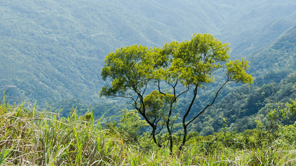
Found that tree interesting for some reason
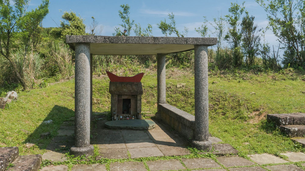
Small Earth God Temple, well protected
Mt. Fanshuliao
The broad trail goes downhill from there. You’ll pass a toilet house and then you’ll come to a fork. To the left is a smaller trail that seems to be a bit more direct. It joins the main trail below Mt. Fanshuliao. We decided to take the main trail to the right via Mt. Fanshuliao. At the top you have some nice views back to to the ridge ,on the backside of which is Taoyuan Valley, on one side and the ocean on the other. Apart from that vantage point the trail down to Daxi is not particular attractive. There is a rest pavilion along the way, but that’s about it. Just an easy walk downhill through forest.
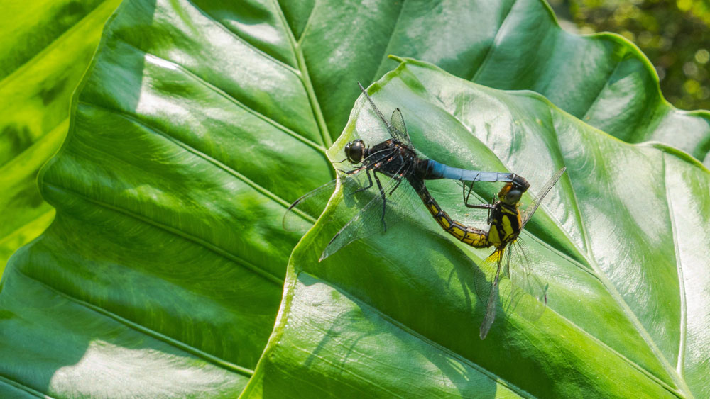
Mating dragonflies, it’s springtime
The trail is broad like that all the way down to the coast
Toilet house
Mt. Fanshuliao, nice views of mountains and coast
The mountain over there is the highest point near Taoyuan Valley
Finally, Turtle Island again
The trail ends at the riverside park mentioned above. It’s about 15 minutes to the railway station from there.
Final Words
Final recommendations. If you are up to the task, do the whole trail from Daxi to Dali or vice versa. I wouldn’t combine it with the Caoling Historic Trail from Fulong. That trail is only interesting once you come to Yakou, which you will pass on your way from Dali or Daxi anyway. Like mentioned before, pick a day when the weather is perfect. You don’t want to walk all the way up only to find out that everything is covered in mist. During the summer, bring plenty of water and sun protection. There is no shadow once you are up there.
Here are the approximate times for our route:
Daxi Railway Station — 25 min. — Stone Guanyin Trail Head — 90 min. — Stone Guanyin Temple — 30 min. — Daxi-Dali Trail — 15 min. — Taoyuan Valley — 20 min. — Earth God Temple — 40 min. — Mt. Fanshuliao — 15 min. — rest pavilion — 40 min. — Daxi Riverside Park — 10 min. — Daxi Railway Station. (total time without breaks: about 5 hours)
Happy hiking to Taoyuan Valley!
{Written by Twelli}
Another route to the Taoyuan Valley Trail (Dali-Wankengtou-Dali)
Here are two other coastal-mountain hikes in northeastern Taiwan we did recently:
Mt. Shen’ao and Elephant Trunk Rock
https://taiwaneverything.cc/2016/12/28/hiking-mt-shenao/
Hiking near BITOU CAPE — Haiyuan Historic Trail