Last weekend we did another coastal-mountain hike on Taiwan’s Northeast Coast. The route, called Haiyuan Historic Trail (海園古道) near Bitou Cape is a bit like the one to Mt. Shenao (深澳山) we did a while ago (see: https://taiwaneverything.cc/2016/12/28/hiking-mt-shenao/).
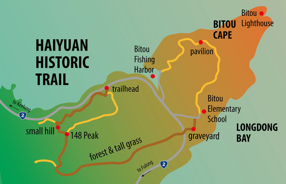
It is close to the well-known and tourist-popular Bitou Cape (鼻頭角) area. You can easily combine this hike with visiting the cape.
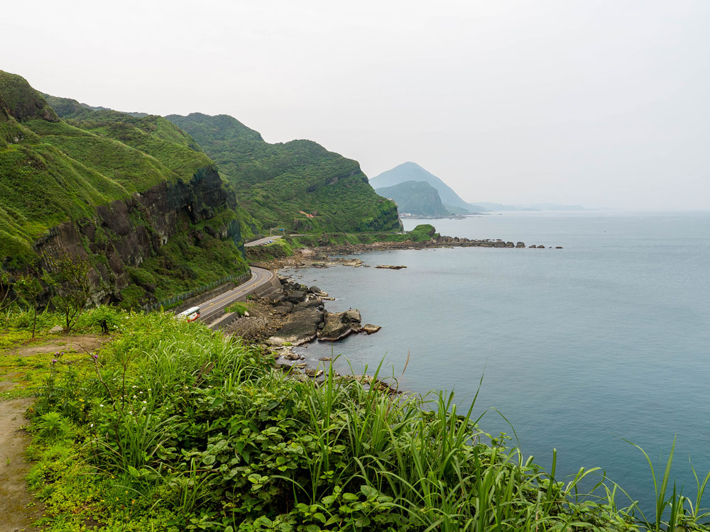
To get there we took the train to Keelung and from there took Keelung bus No. 791 (http://routes.ntpc.com.tw/ntpcebus/Tw/Map?rid=16682&sec=0), which follows the coast to Fulong.
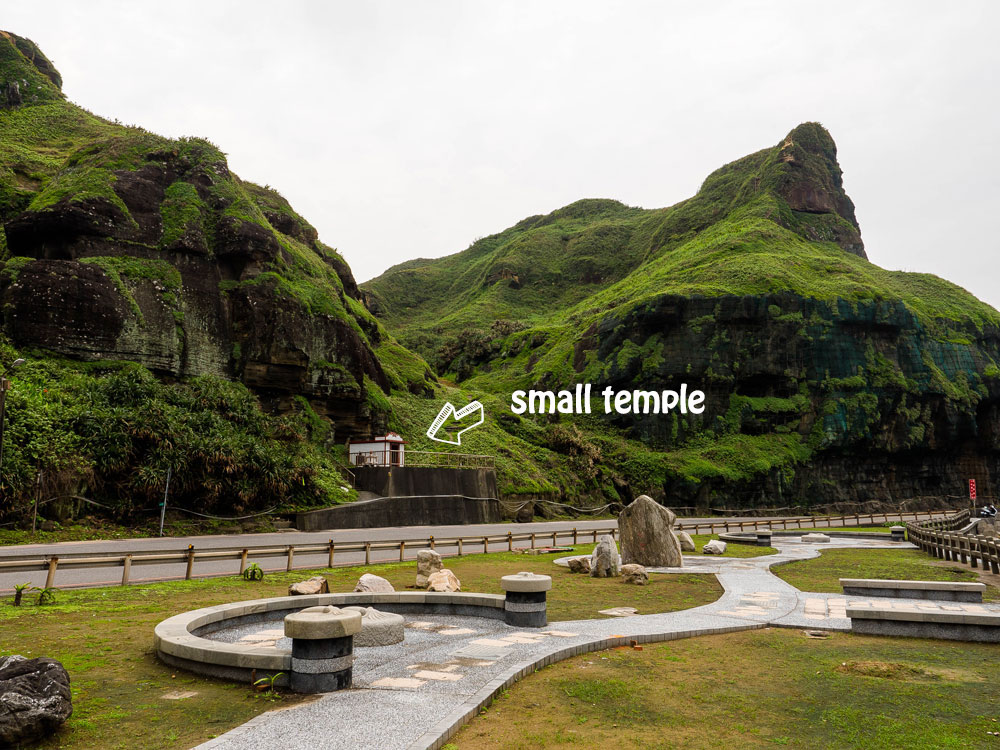
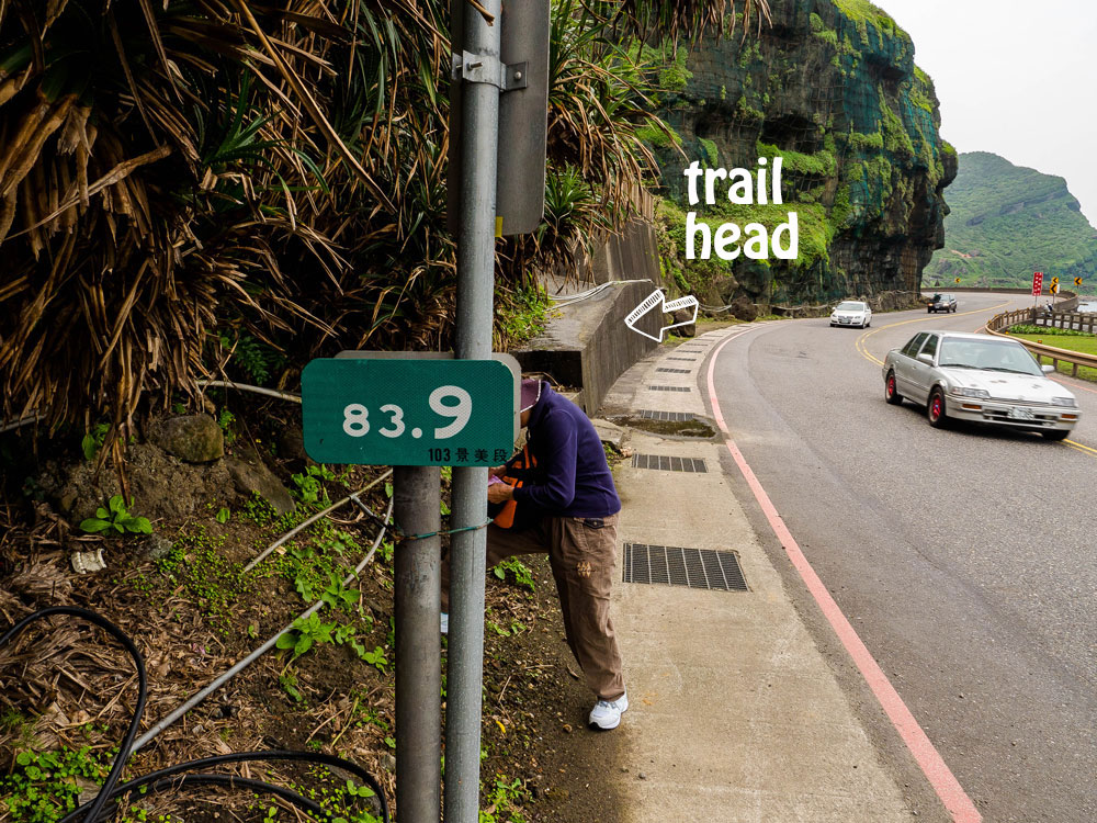
Get off at Bitou (鼻頭) bus stop, one stop before Bitou Cape. You can also take a train to Ruifang and take bus 856 (Taiwan Tourist Shuttle Gold Fulong Shuttle Bus; http://en.taiwantrip.com.tw) and get off at Bitou Cape bus stop. Head back along the highway until you see kilometer marker 83.9.
Look for steps on the left side leading to a small Earth God Temple.
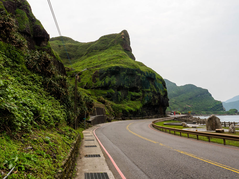
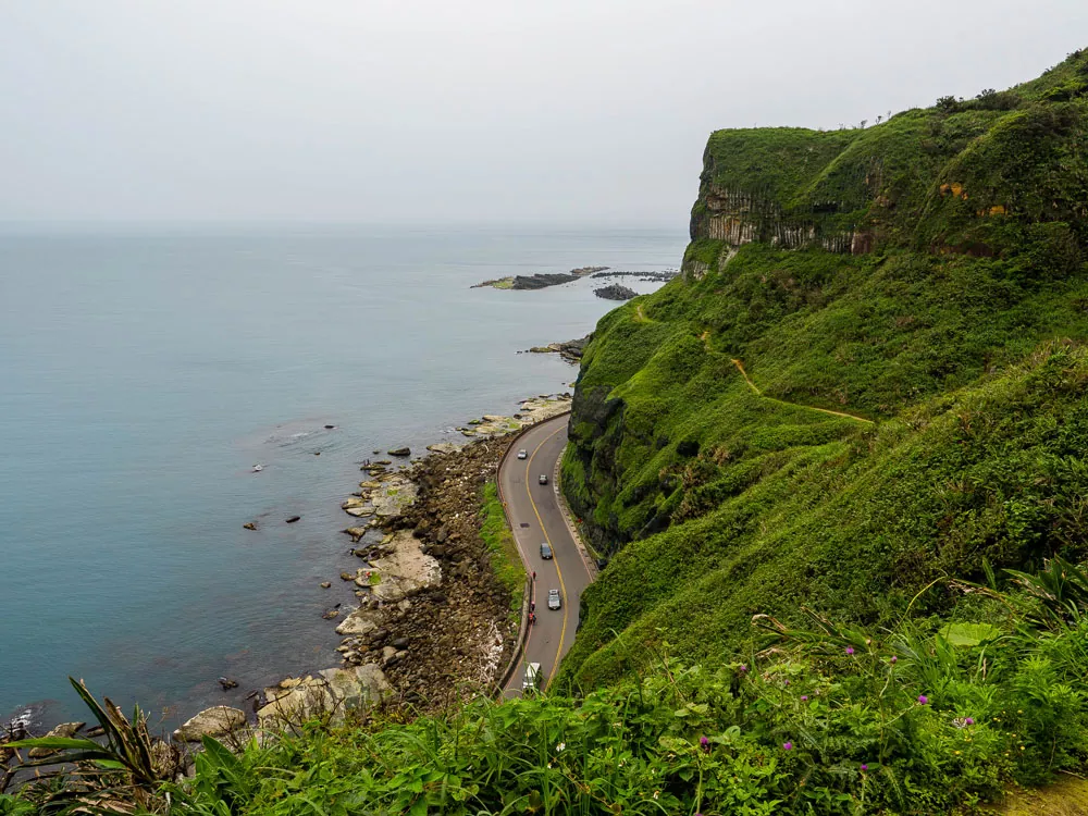
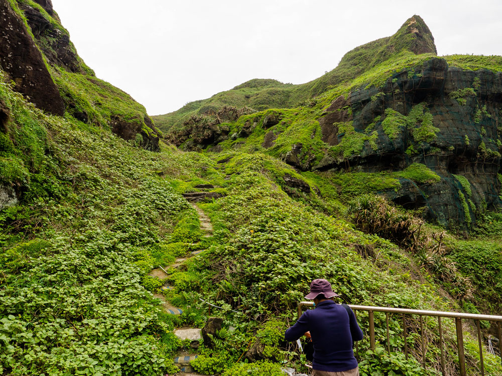
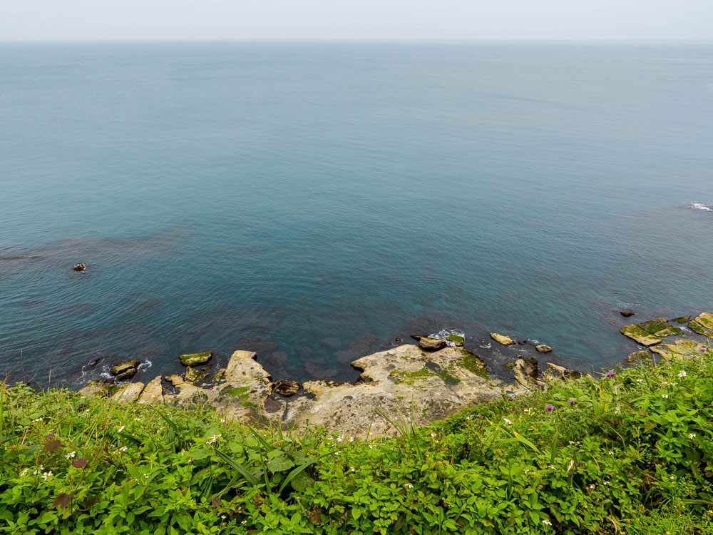
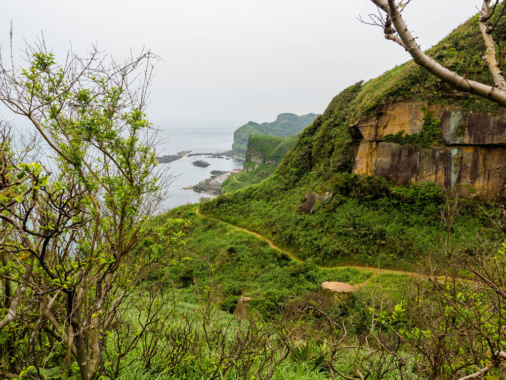
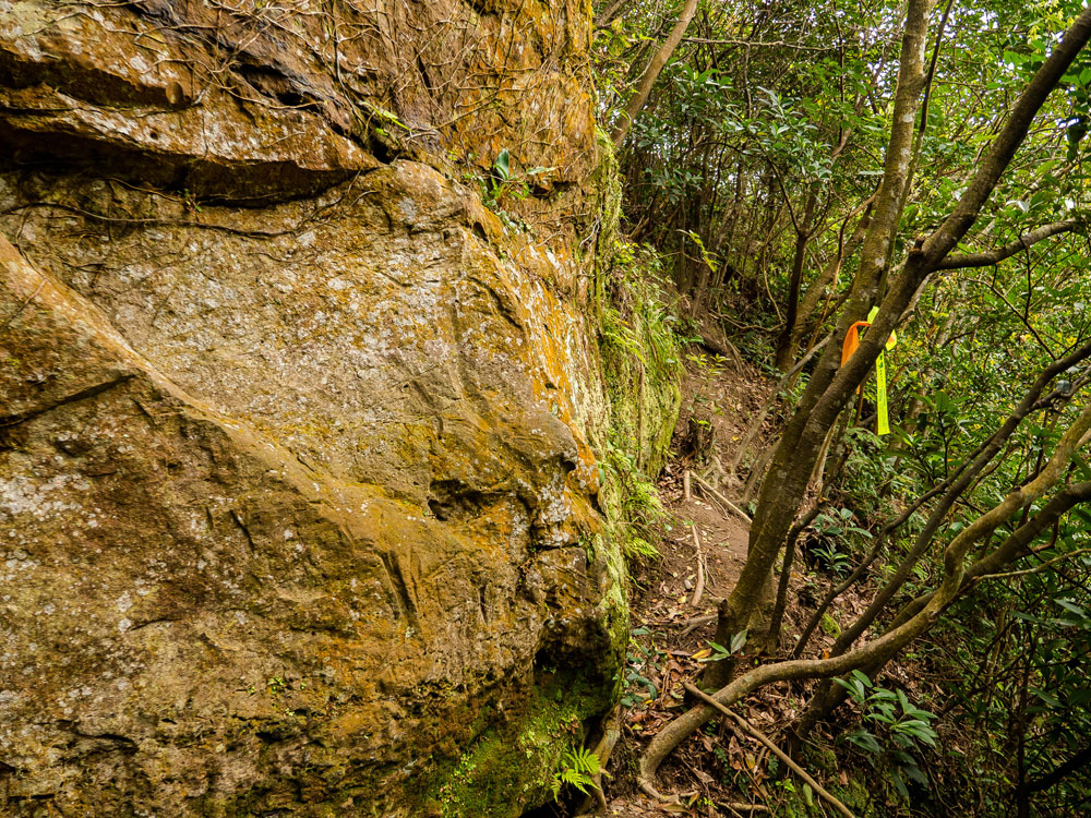
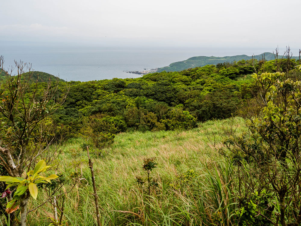
Behind the temple you can see the broad yellow-mud trail uphill. You will soon walk almost directly above the highway, the sea in full sight, with the coastal cliff on your left.
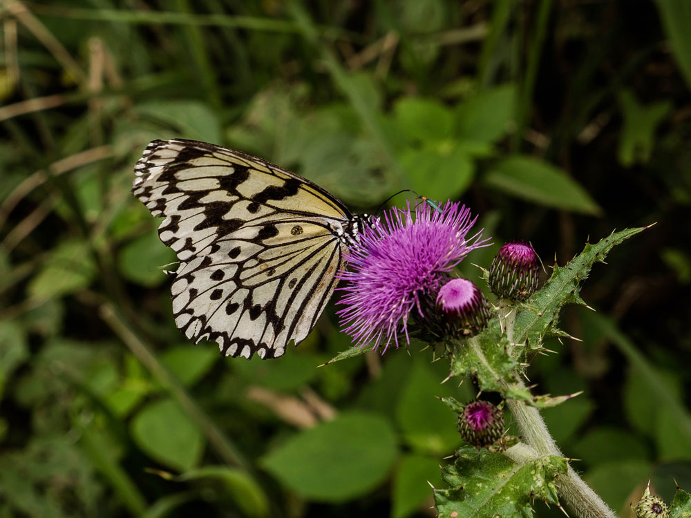
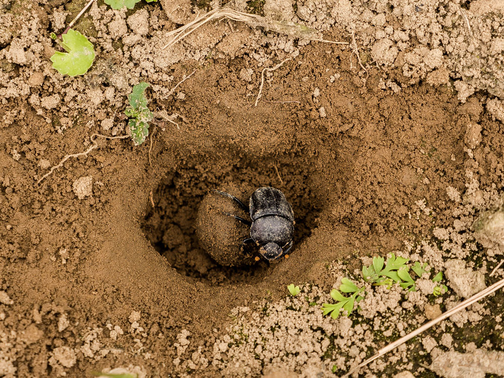
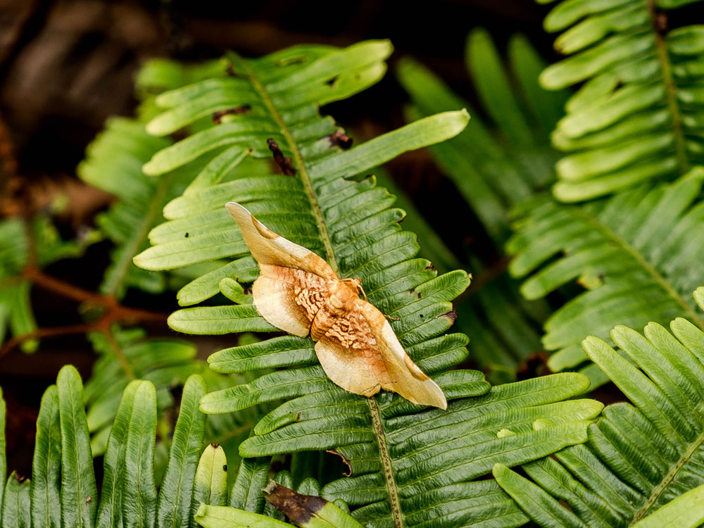
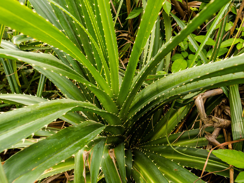
Along the trail there are interesting flowers, like thistles, attracting big white and black butterflies.

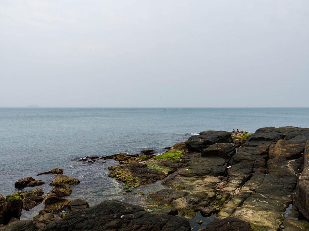
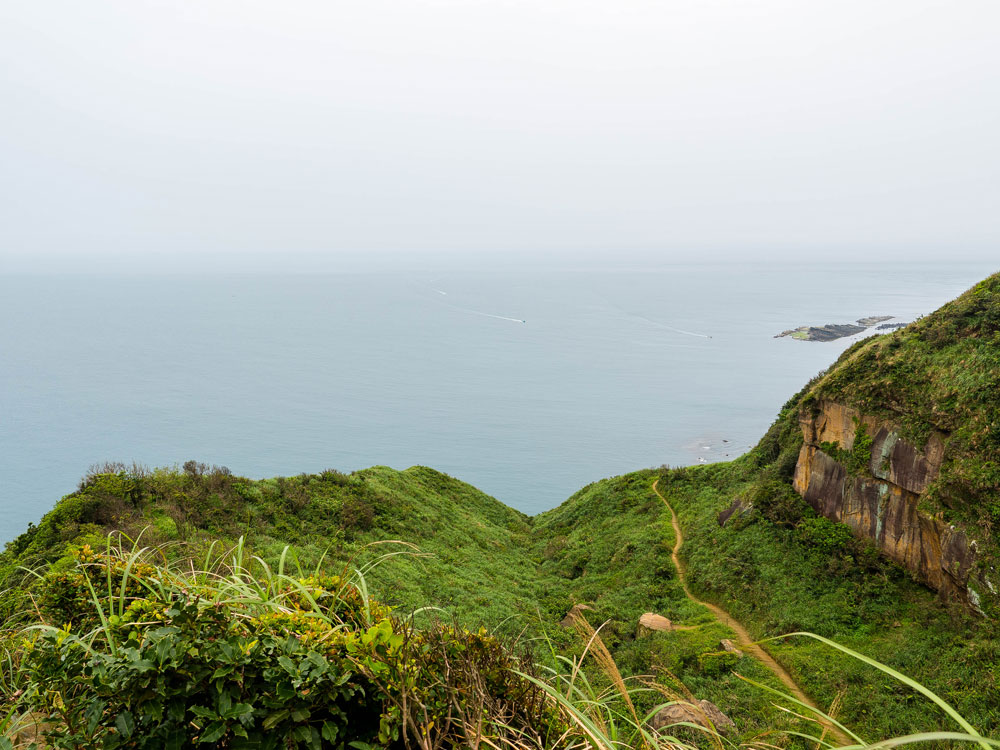
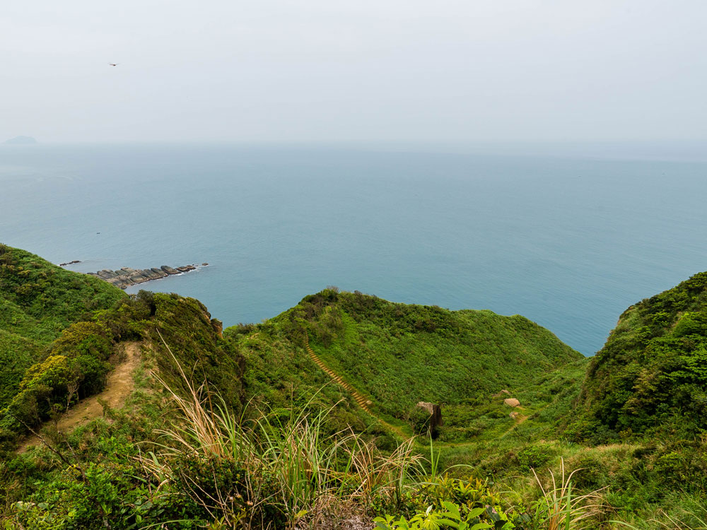
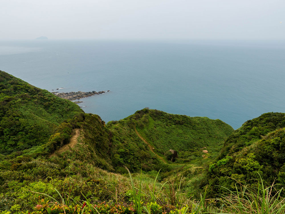
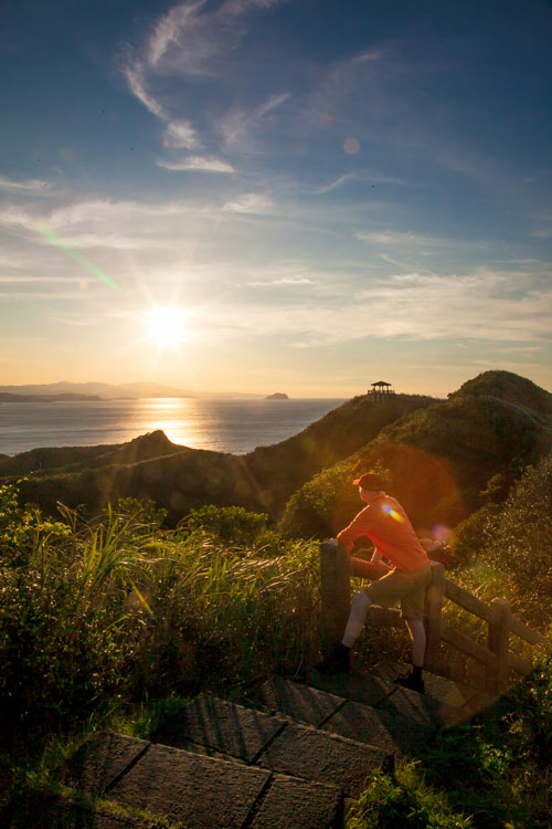
After about 20 minutes you reach a saddle. The right path leads to a vantage point with more great views of the coast. The path ahead goes downhill to a stream. Maps indicate that there is a trail further on along the coast, we checked it out, but we didn’t find the trail. Didn’t look safe to walk further on from there along the cliff face.
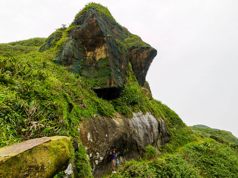
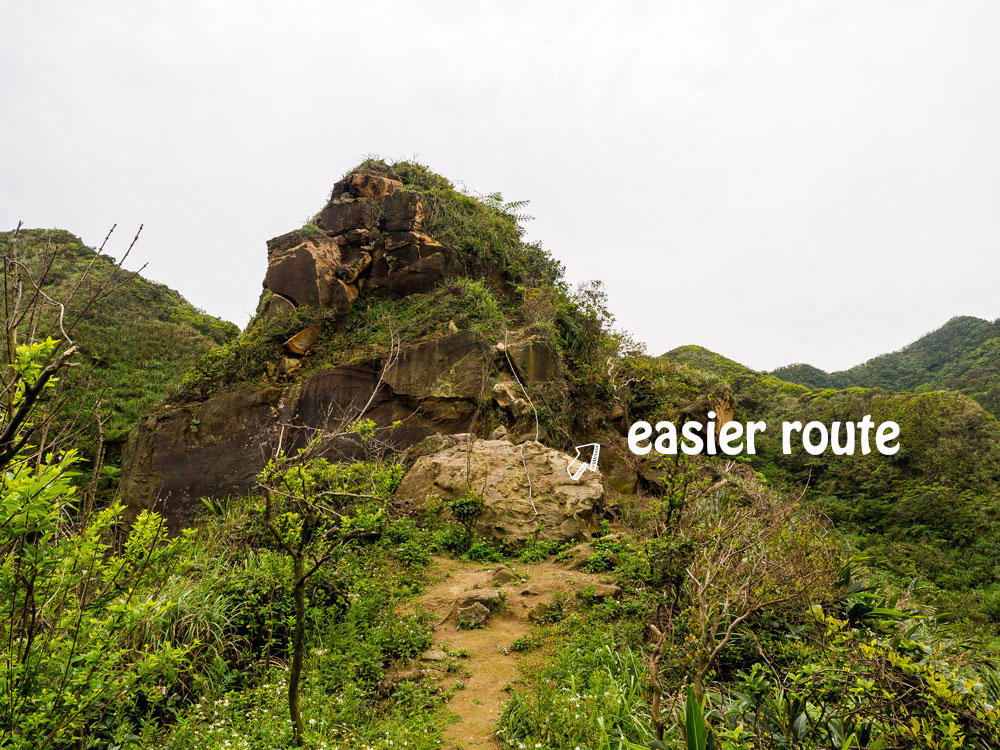
So we took the left path, which soon brings you to a steep hill. There is path straight up and you can grab onto a rope to get to the top. If that’s to challenging, there is another, easier, route to the right, which also gets you up the hill a bit further behind. From the top, called Lieyanjian (裂岩尖), you have splendid views down to the path you just walked on.
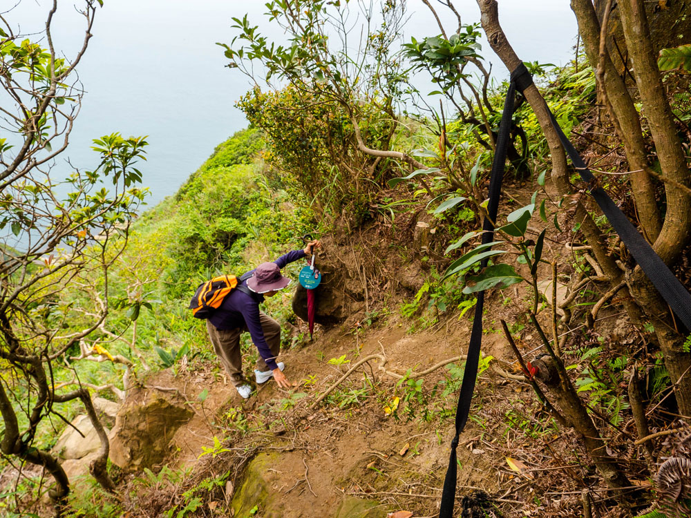
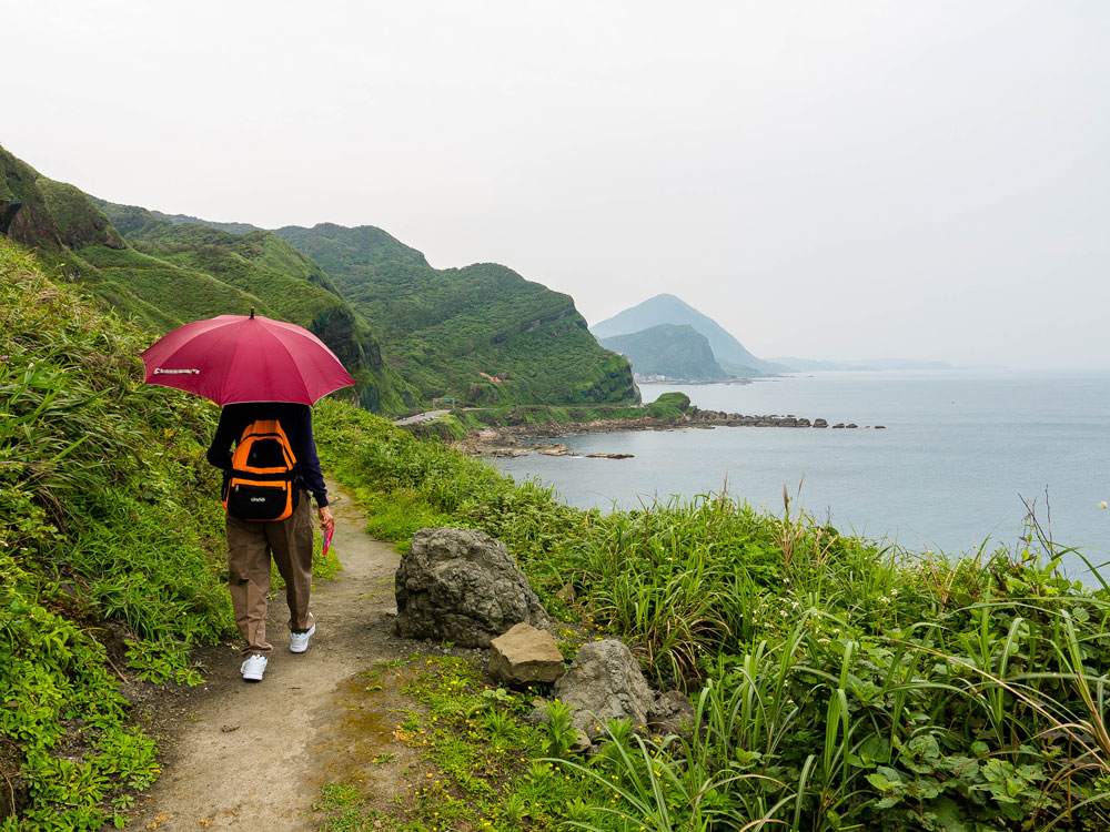
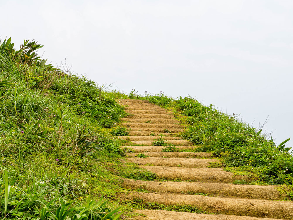
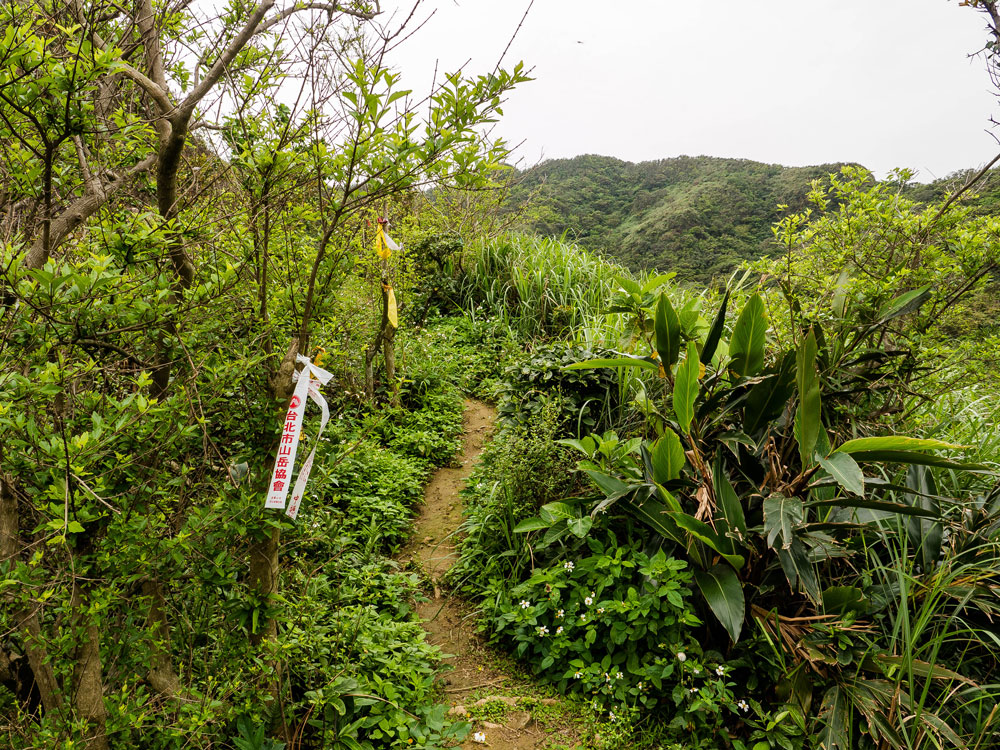
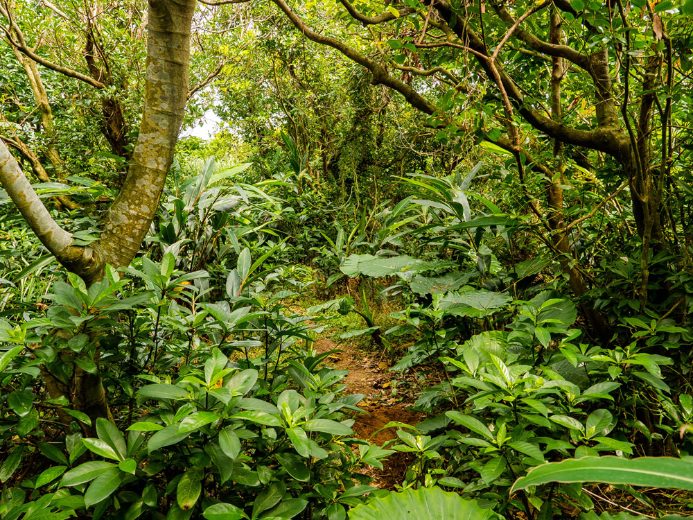
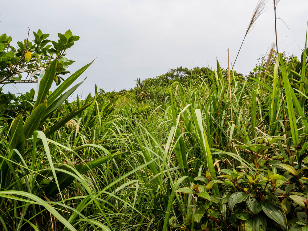
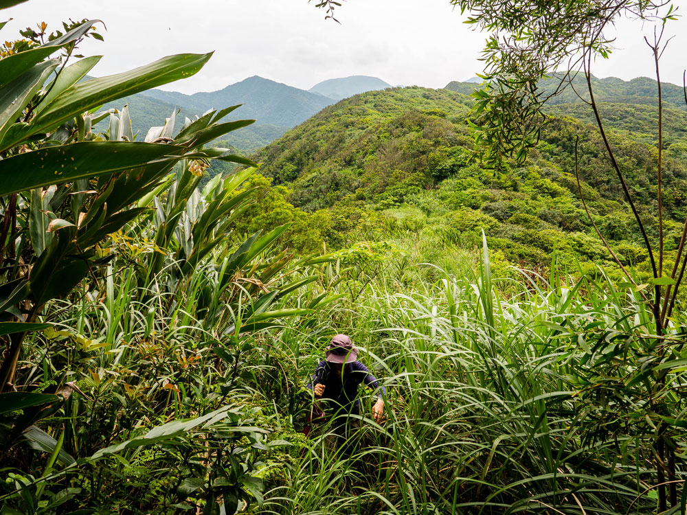
Then it’s uphill through alternating thick forest and tall-grass areas. The trail is always easy to follow, even though the tall grass can cover it completely at spots. I wouldn’t advice you to go there during wet weather, because the earthen path will definitely become very slippery and the wet grass will make you soaking wet in no time.
We went there on a fine sunny day. If you go in the summer, protect yourself against the sun.
Further on you’ll pass a smaller cliff face where the trail is a bit narrow. Not very difficult, if you have some hiking experience.
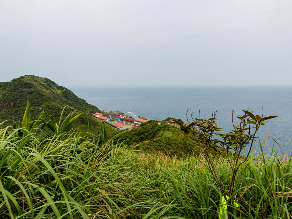
Next you come to 148 Peak (148峰; 148m high?) from where you can take in more fine views of the coast and the sea.
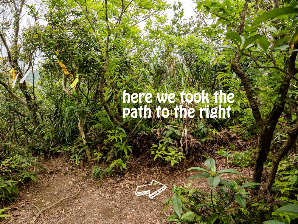
Then you have two choices. Take the path to the left which will bring you back to the small temple near the highway from where you started or take the right path that makes a large loop and brings you to Bitou Elementary School (鼻頭過小) near Bitou Cape. We took the latter.
This route is easy to follow but goes to some thick tall grass areas, interspersed with shaded easy to walk sections in the woods and the occasional spot with great views. You definitely want to wear long sleeves (watch out for plants with tiny spines). I also spotted a solitary hornet, not sure if there were more. Like always when hiking in Taiwan, look out for potential trouble, like insects and snakes. Oh, yes, lot’s of tiny-spider web encounters too…
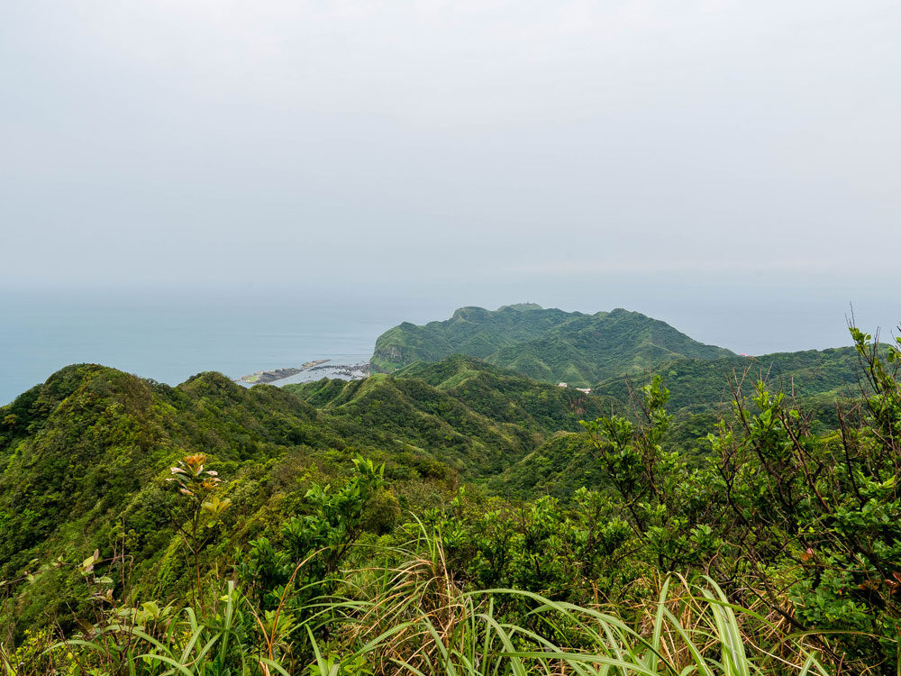
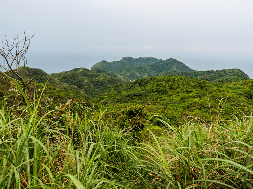
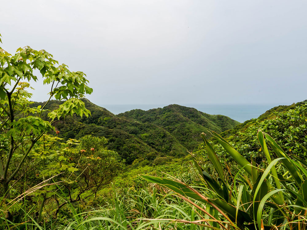
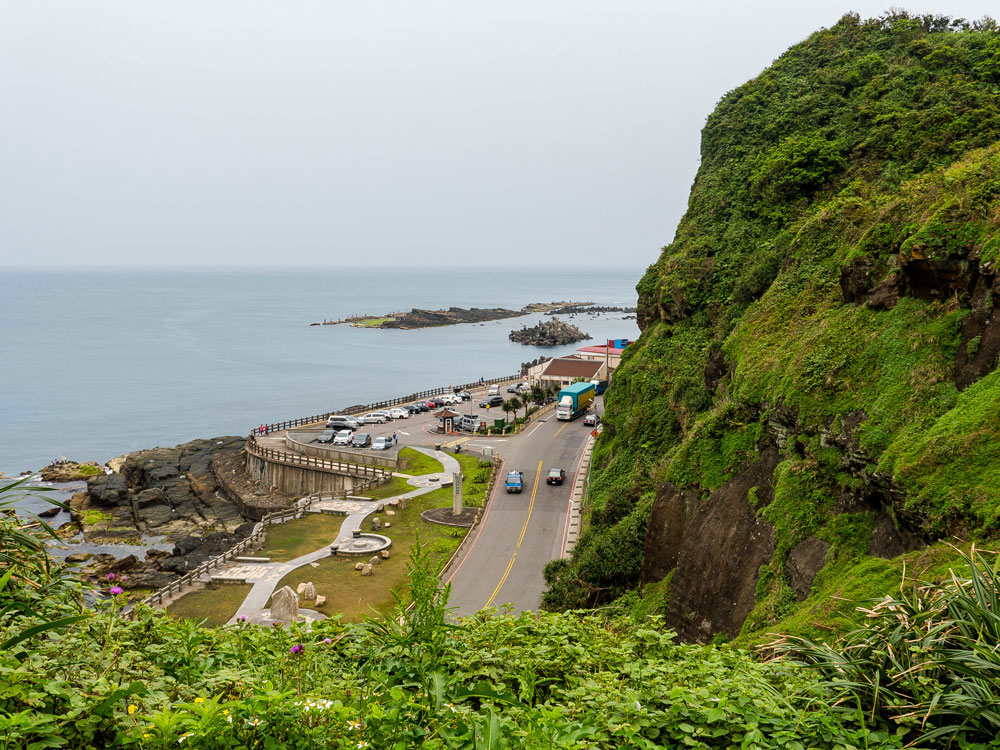
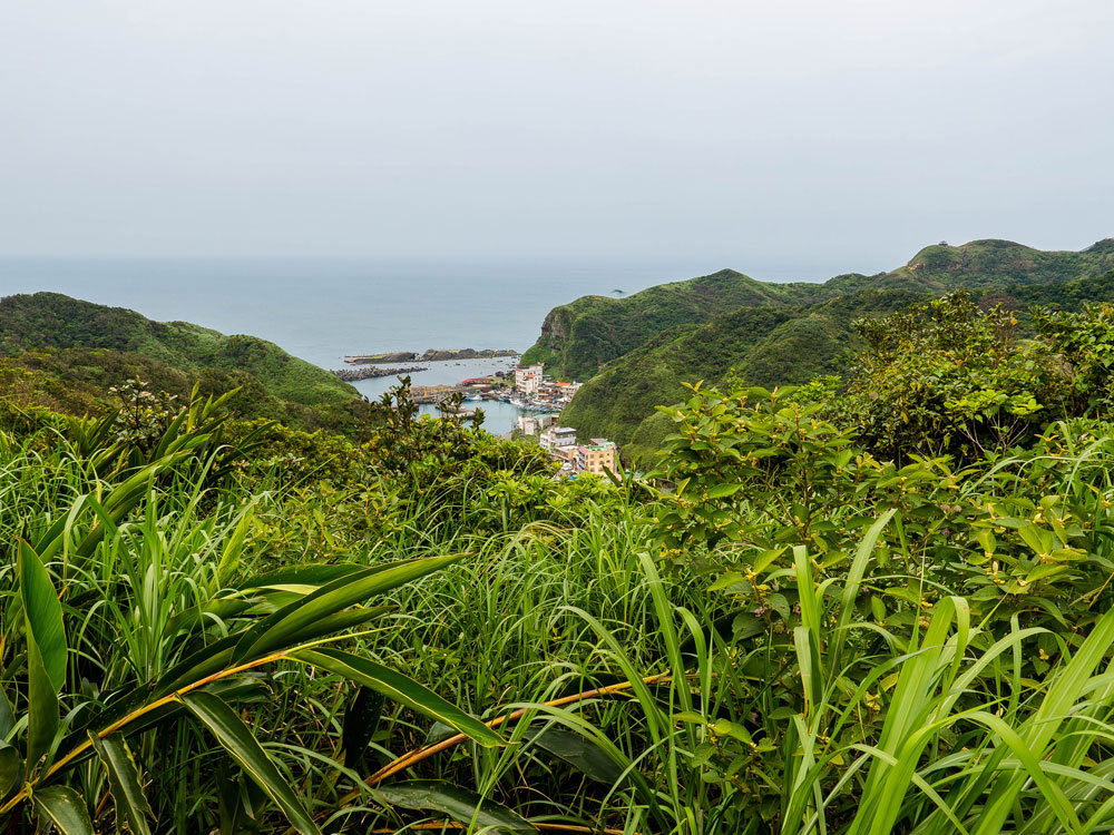
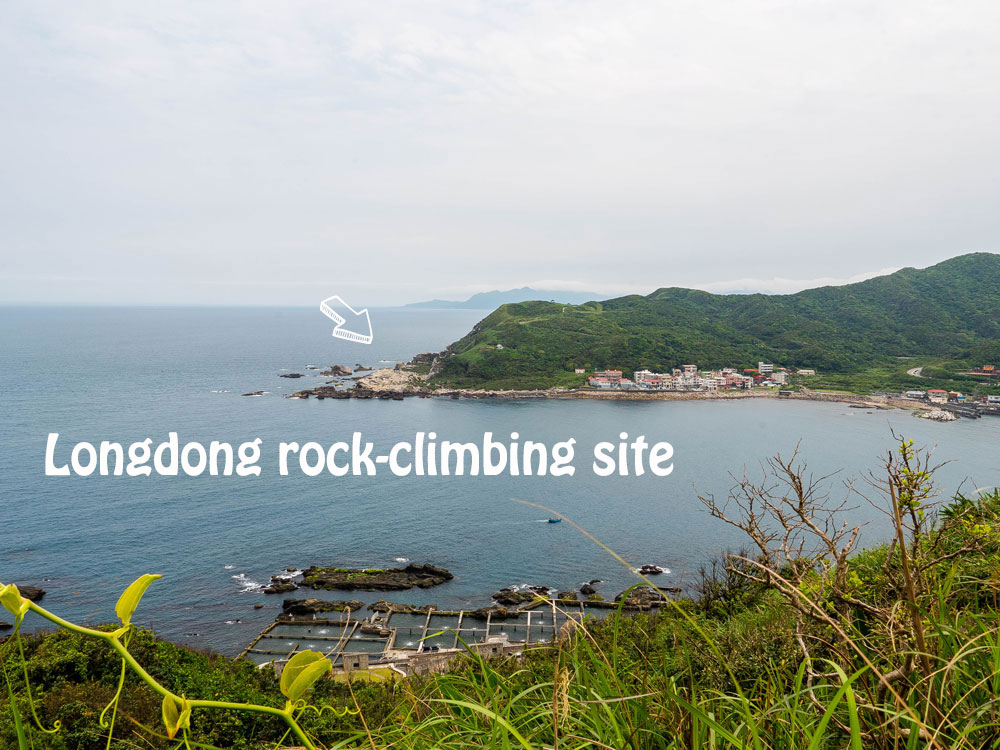
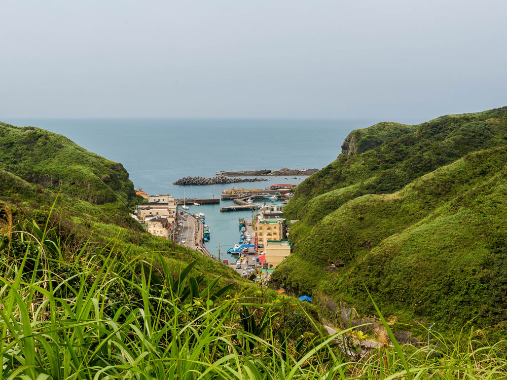
Whence you get closer to Bitou Cape, you will spot Bitou Fishing Harbor (鼻頭漁港) on the left and further on Longdong Bay (龍洞灣) on the right. You can clearly see the rock-climbing area on the opposite side of the bay.
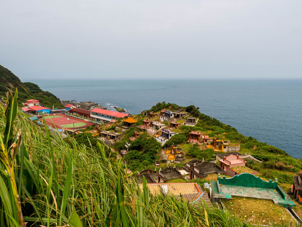
Before you reach the elementary school, you’ll come to a graveyard overlooking the coast. Finally you come to the access road of the school. Turn right to get to the school and further on to the main trail of Bitou Cape.
The Haiyuan Trail is not very long. You can complete the hike at a moderate pace in 3-4 hours. If you have some energy left walk up Bitou Cape. We once went to the top pavilion and enjoyed a marvelous sunset!
Happy hiking!
More hiking articles
CAOLING HISTORIC TRAIL on the Northeast Coast
Hiking the SANDIAOLING Waterfall Trail
The Marvelous TAOYUAN VALLEY in northern Yilan
Written by Twelli